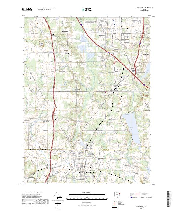
2023 Map of Columbiana
USGS Topo · Published 2023About this map
The boundary between Mahoning and Columbiana counties defines the central landscape of this area, where the headwaters of the East Branch Middle Fork Little Beaver Creek and Mill Creek begin their descent. Small communities such as North Lima, New Buffalo, and Paradise dot the northern half, while the city of Columbiana anchors the southern portion. The region's agricultural and rural heritage is evident in the dense concentration of denominational burial grounds, including the Paradise Lutheran Cem and the North Lima Mennonite Cem.
Find a feature on this map
59 named features on this map. Tap any name to fly to it.
Don’t see what you’re looking for? This feature index may not catch every label — zoom into the map to look around manually.
Map Details
Editions of this 2023 Columbiana Map
This is the sole edition of this map. No revisions or reprints were ever made.
Other maps of this area

1906 · Youngstown
USGS Topo · 1:62,500

1907 · Columbiana
USGS Topo · 1:62,500

1908 · Youngstown
USGS Topo · 1:62,500

1908 · Warren
USGS Topo · 1:62,500

1909 · Lisbon
USGS Topo · 1:62,500

1909 · Columbiana
USGS Topo · 1:62,500

1950 · Cleveland
USGS Topo · 1:250,000

1951 · Canton
USGS Topo · 1:250,000

1951 · Columbiana
USGS Topo · 1:24,000

1951 · Campbell
USGS Topo · 1:24,000