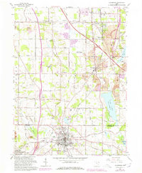
1962 Map of Columbiana
USGS Topo · Published 1978About this map
The South Bdy Connecticut Western Reserve bisects this landscape, marking a historical boundary between the early New England-settled reserve and the North Bdy Congress Lands to the south. By the early 1960s, the area shows a distinct transition from the expanding infrastructure of Columbiana and North Lima to the active extractive industry of the surrounding townships. Numerous strip mines are visible throughout Beaver Township, contrasting with the orderly grids of the Youngstown - Elser Metropolitan Airfield and the recreational spaces of Firestone Park. Transportation is a defining characteristic, with the Ohio Turnpike cutting diagonally across the terrain while older networks like the Pennsylvania Railroad and Erie Lackawanna Railroad serve the industrial needs of Leetonia and Willow Crest. Historic rural landmarks, such as Zion Hill Ch and the St Marys Friary, anchor the small communities of Paradise and Eureka.
Find a feature on this map
67 named features on this map. Tap any name to fly to it.
Don’t see what you’re looking for? This feature index may not catch every label — zoom into the map to look around manually.
Map Details
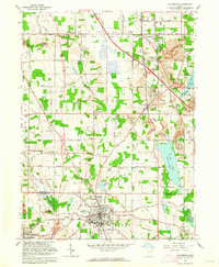
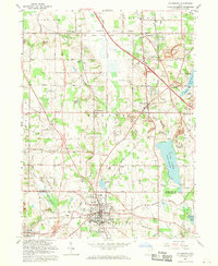
Editions of this 1962 Columbiana Map
3 editions found
Other maps of this area

1906 · Youngstown
USGS Topo · 1:62,500

1907 · Columbiana
USGS Topo · 1:62,500

1908 · Youngstown
USGS Topo · 1:62,500

1908 · Warren
USGS Topo · 1:62,500

1909 · Lisbon
USGS Topo · 1:62,500

1909 · Columbiana
USGS Topo · 1:62,500

1950 · Cleveland
USGS Topo · 1:250,000

1951 · Canton
USGS Topo · 1:250,000

1951 · Columbiana
USGS Topo · 1:24,000

1951 · Campbell
USGS Topo · 1:24,000