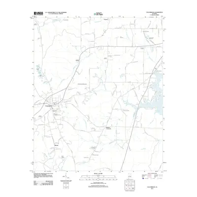
2011 Map of Columbiana
USGS Topo · Published 2011About this map
Columbiana serves as a focal point for this section of Shelby County, situated west of the prominent Columbiana Mountain. This landscape is marked by a transition from the structured street grid of the town center—home to the Columbiana Post Office—to the more dispersed rural settlements of Kingdom Crossroads, Nelson, and Hillsdale. The area is densely populated with sites of genealogical interest, including numerous family and community burial grounds such as Old Good Hope Cemetery, Whitfield Cemetery, and Pine Lawn Gardens Cemetery.
Find a feature on this map
120 named features on this map. Tap any name to fly to it.
Don’t see what you’re looking for? This feature index may not catch every label — zoom into the map to look around manually.
Map Details
Editions of this 2011 Columbiana Map
This is the sole edition of this map. No revisions or reprints were ever made.
Other maps of this area

1890 · Bessemer
USGS Topo · 1:125,000

1890 · Talladega
USGS Topo · 1:125,000

1892 · Talladega
USGS Topo · 1:125,000

1892 · Bessemer
USGS Topo · 1:125,000

1906 · Vandiver
USGS Topo · 1:62,500

1908 · Vandiver
USGS Topo · 1:62,500

1909 · Columbiana
USGS Topo · 1:62,500

1911 · Columbiana
USGS Topo · 1:62,500

1915 · Gantts Quarry
USGS Topo · 1:48,000

1917 · Gantts Quarry
USGS Topo · 1:62,500