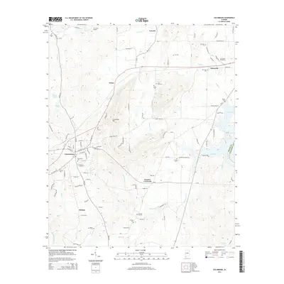
2014 Map of Columbiana
USGS Topo · Published 2014About this map
Columbiana serves as a focal point in this 2014 study of central Shelby County, where the landscape is defined by the transition from the slopes of Columbiana Mtn to the water-rich bottomlands of Lay Lake. The map reveals a dense network of country roads and local history markers, including numerous family and community burial grounds such as Old Good Hope Cem and Cedar Grove Cem. Small settlements like Fourmile, Wilsonville, and Kingdom Crossroads are interconnected by winding routes like Mardis Ferry Rd, reflecting the rural character of the region.
Find a feature on this map
97 named features on this map. Tap any name to fly to it.
Don’t see what you’re looking for? This feature index may not catch every label — zoom into the map to look around manually.
Map Details
Editions of this 2014 Columbiana Map
This is the sole edition of this map. No revisions or reprints were ever made.
Other maps of this area

1890 · Bessemer
USGS Topo · 1:125,000

1890 · Talladega
USGS Topo · 1:125,000

1892 · Talladega
USGS Topo · 1:125,000

1892 · Bessemer
USGS Topo · 1:125,000

1906 · Vandiver
USGS Topo · 1:62,500

1908 · Vandiver
USGS Topo · 1:62,500

1909 · Columbiana
USGS Topo · 1:62,500

1911 · Columbiana
USGS Topo · 1:62,500

1915 · Gantts Quarry
USGS Topo · 1:48,000

1917 · Gantts Quarry
USGS Topo · 1:62,500