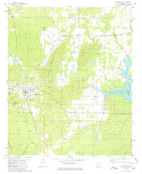
1980 Map of Columbiana
USGS Topo · Published 1980About this map
The county seat of Columbiana sits at the foot of Columbiana Mountain, serving as a central hub where the Louisville and Nashville and Southern railroads once converged. This 1980 survey reveals a landscape shaped by both the iron-horse era and the management of local waterways, with the Coosa River forming Lay Lake along the eastern boundary. The map document is particularly useful for genealogists, as it identifies numerous rural community centers such as Kingdom Crossroads and Hillsdale.
Find a feature on this map
47 named features on this map. Tap any name to fly to it.
Don’t see what you’re looking for? This feature index may not catch every label — zoom into the map to look around manually.
Map Details
Editions of this 1980 Columbiana Map
This is the sole edition of this map. No revisions or reprints were ever made.
Other maps of this area

1890 · Bessemer
USGS Topo · 1:125,000

1890 · Talladega
USGS Topo · 1:125,000

1892 · Talladega
USGS Topo · 1:125,000

1892 · Bessemer
USGS Topo · 1:125,000

1906 · Vandiver
USGS Topo · 1:62,500

1908 · Vandiver
USGS Topo · 1:62,500

1909 · Columbiana
USGS Topo · 1:62,500

1911 · Columbiana
USGS Topo · 1:62,500

1915 · Gantts Quarry
USGS Topo · 1:48,000

1917 · Gantts Quarry
USGS Topo · 1:62,500