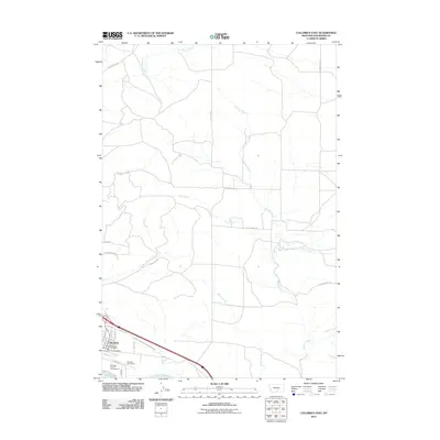
2011 Map of Columbus East
USGS Topo · Published 2011About this map
The town of Columbus serves as the focal point for this study of the north bank of the Yellowstone River. Positioned at the confluence of several vital waterways, the area is defined by its agricultural and recreational infrastructure. Local community services are well-represented by the Columbus Vol Fire Dept and Columbus Rural Fire Dept, while the Columbus Water Users Association Ditch highlights the critical role of water management in the region's development.
Find a feature on this map
34 named features on this map. Tap any name to fly to it.
Don’t see what you’re looking for? This feature index may not catch every label — zoom into the map to look around manually.
Map Details
Editions of this 2011 Columbus East Map
This is the sole edition of this map. No revisions or reprints were ever made.
Other maps of this area

1892 · Stillwater
USGS Topo · 1:125,000

1954 · Billings
USGS Topo · 1:250,000

1955 · Whitebird School
USGS Topo · 1:24,000

1956 · Columbus West
USGS Topo · 1:24,000

1956 · Hunter Lake
USGS Topo · 1:24,000

1956 · Shane Ridge
USGS Topo · 1:24,000

1956 · Horse Butte
USGS Topo · 1:24,000

1956 · Columbus East
USGS Topo · 1:24,000

1956 · Lindemulder Hill
USGS Topo · 1:24,000

1956 · Rapids
USGS Topo · 1:24,000