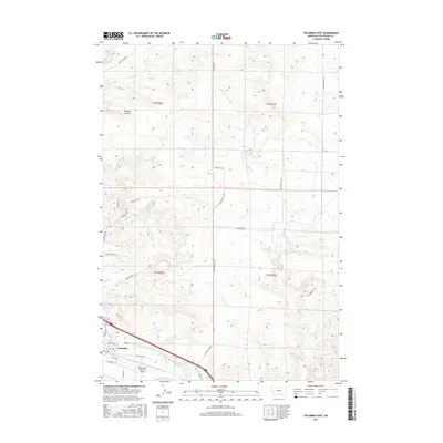
2017 Map of Columbus East
USGS Topo · Published 2017About this map
The Yellowstone River cuts through the southern portion of this landscape, anchoring the settlement of Columbus. This area in Stillwater County is defined by a series of north-south drainages including Hensley Cr, Toms Cr, and Brown Cr that flow toward the river valley. The agricultural infrastructure is visible through the winding Columbus Water Users Association Ditch, which follows the contours of the valley floor north of the river.
Find a feature on this map
36 named features on this map. Tap any name to fly to it.
Don’t see what you’re looking for? This feature index may not catch every label — zoom into the map to look around manually.
Map Details
Editions of this 2017 Columbus East Map
This is the sole edition of this map. No revisions or reprints were ever made.
Other maps of this area

1892 · Stillwater
USGS Topo · 1:125,000

1954 · Billings
USGS Topo · 1:250,000

1955 · Whitebird School
USGS Topo · 1:24,000

1956 · Columbus West
USGS Topo · 1:24,000

1956 · Hunter Lake
USGS Topo · 1:24,000

1956 · Shane Ridge
USGS Topo · 1:24,000

1956 · Horse Butte
USGS Topo · 1:24,000

1956 · Columbus East
USGS Topo · 1:24,000

1956 · Lindemulder Hill
USGS Topo · 1:24,000

1956 · Rapids
USGS Topo · 1:24,000