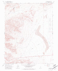
1967 Map of Columbus
USGS Topo · Published 1982About this map
Columbus sits at the edge of the vast Columbus Salt Marsh (Alkali Flat) on this 1960s-era topography, where the high desert terrain transitions from the Candelaria Hills to the Volcanic Hills. The landscape is defined by its arid geography, featuring extensive sand dunes and the seasonal drainage of Pinchot Creek. The map documents a period of resource exploration and mining activity, indicated by several prospects, a mine in the south, and a gravel pit along the main transit corridor. The presence of a well in the desert wash highlights the critical importance of water access in this high-elevation basin. Positioned along the Mineral Co / Esmeralda Co line, the sheet offers a clear look at the geological and industrial character of this remote section of the Great Basin.
Find a feature on this map
15 named features on this map. Tap any name to fly to it.
Don’t see what you’re looking for? This feature index may not catch every label — zoom into the map to look around manually.
Map Details
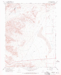
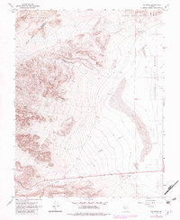
Editions of this 1967 Columbus Map
3 editions found
Other maps of this area

1898 · Silver Peak
USGS Topo · 1:125,000

1900 · Silver Peak
USGS Topo · 1:125,000

1907 · Tonopah
USGS Topo · 1:250,000

1908 · Lida
USGS Topo · 1:250,000

1908 · Tonopah
USGS Topo · 1:250,000

1909 · Hawthorne
USGS Topo · 1:250,000

1911 · Hawthorne
USGS Topo · 1:250,000

1913 · Lida
USGS Topo · 1:250,000

1915 · Hawthorne
USGS Topo · 1:250,000

1917 · White Mountain
USGS Topo · 1:125,000