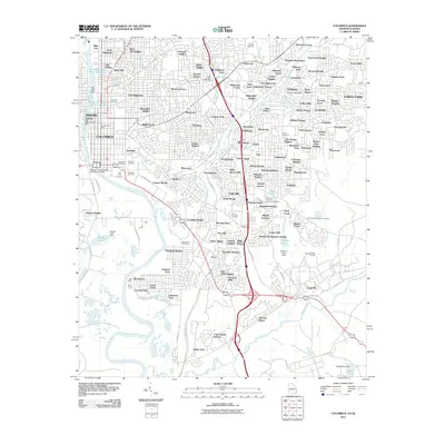
2011 Map of Columbus
USGS Topo · Published 2011About this map
The Chattahoochee River defines the western border of this region, its flow regulated by landmarks like the Bussey Lake Dam and the Opossum Lake Dam. Near the river, the landscape is heavily marked by historical burial grounds, including the Linwood Cemetery, Porterdale Cemetery, and the Colored Cemetery. The suburban expansion of eastern Columbus is evident in the dense residential clusters of Weracoba Heights, Dinglewood, and Cusseta Heights.
Find a feature on this map
161 named features on this map. Tap any name to fly to it.
Don’t see what you’re looking for? This feature index may not catch every label — zoom into the map to look around manually.
Map Details
Editions of this 2011 Columbus Map
This is the sole edition of this map. No revisions or reprints were ever made.
Other maps of this area

1907 · Talbotton
USGS Topo · 1:125,000

1907 · Opelika
USGS Topo · 1:125,000

1908 · Columbus
USGS Topo · 1:62,500

1909 · Opelika
USGS Topo · 1:125,000

1914 · Seale
USGS Topo · 1:62,500

1929 · Columbus
USGS Topo · 1:48,000

1947 · Columbus
USGS Topo · 1:62,500

1949 · Midland
USGS Topo · 1:24,000

1949 · Fort Mitchell
USGS Topo · 1:24,000

1949 · Ochillee
USGS Topo · 1:24,000