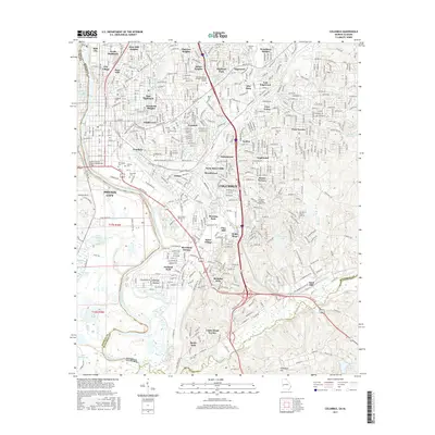
2017 Map of Columbus
USGS Topo · Published 2017About this map
The Chattahoochee River carves a path between Georgia and Alabama, serving as the central artery for Columbus and Phenix City. In this mid-2010s landscape, the urban fabric is composed of numerous distinct neighborhoods and early suburbs, ranging from Bibb City and Rose Hill in the north to Baker Village and Riverland Terrace further south. The map provides significant genealogical value through its detailed labeling of local resting places, including the large Linwood Cem, Porterdale Cem, and Evergreen Memory Gardens Cem.
Find a feature on this map
206 named features on this map. Tap any name to fly to it.
Don’t see what you’re looking for? This feature index may not catch every label — zoom into the map to look around manually.
Map Details
Editions of this 2017 Columbus Map
This is the sole edition of this map. No revisions or reprints were ever made.
Other maps of this area

1907 · Talbotton
USGS Topo · 1:125,000

1907 · Opelika
USGS Topo · 1:125,000

1908 · Columbus
USGS Topo · 1:62,500

1909 · Opelika
USGS Topo · 1:125,000

1914 · Seale
USGS Topo · 1:62,500

1929 · Columbus
USGS Topo · 1:48,000

1947 · Columbus
USGS Topo · 1:62,500

1949 · Midland
USGS Topo · 1:24,000

1949 · Fort Mitchell
USGS Topo · 1:24,000

1949 · Ochillee
USGS Topo · 1:24,000