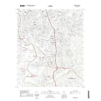
2020 Map of Columbus
USGS Topo · Published 2020About this map
The Chattahoochee River defines the western edge of this urban survey, separating Columbus, Georgia from Phenix City, Alabama. The landscape is a dense network of residential neighborhoods and historical districts, including Rose Hill, Dinglewood, and Weracoba Heights. Centralized civic life is anchored by the Muscogee County Courthouse and the Strayer University Columbus Campus. Numerous historical burial grounds, such as Linwood Cem and Porterdale Cem, are situated near the riverbanks, reflecting the city's long-established layout.
Find a feature on this map
74 named features on this map. Tap any name to fly to it.
Don’t see what you’re looking for? This feature index may not catch every label — zoom into the map to look around manually.
Map Details
Editions of this 2020 Columbus Map
This is the sole edition of this map. No revisions or reprints were ever made.
Other maps of this area

1907 · Talbotton
USGS Topo · 1:125,000

1907 · Opelika
USGS Topo · 1:125,000

1908 · Columbus
USGS Topo · 1:62,500

1909 · Opelika
USGS Topo · 1:125,000

1914 · Seale
USGS Topo · 1:62,500

1929 · Columbus
USGS Topo · 1:48,000

1947 · Columbus
USGS Topo · 1:62,500

1949 · Midland
USGS Topo · 1:24,000

1949 · Fort Mitchell
USGS Topo · 1:24,000

1949 · Ochillee
USGS Topo · 1:24,000