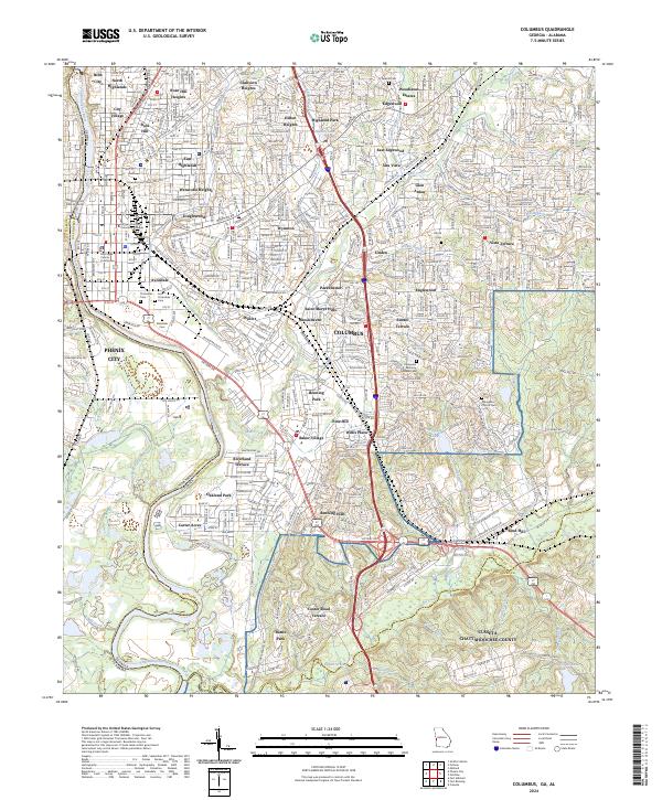
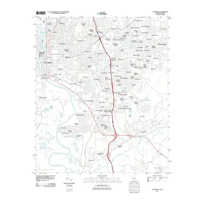
2024 Map of Columbus
USGS Topo · Published 2024About this map
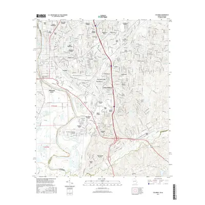
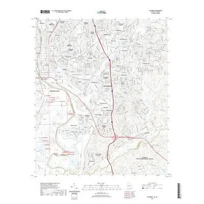
The Chattahoochee River forms the vital dividing line between Columbus, Georgia, and Phenix City, Alabama, anchoring a landscape where urban development meets significant military and educational footprints. This modern survey details a complex web of established residential districts such as Weracoba Heights, Clubview Heights, and Hilton Heights, reflecting decades of northward expansion from the historic core. Near the river, the Muscogee County Courthouse and Strayer University Columbus Campus mark the civic and academic heart of the city, while the southern portion is defined by the massive presence of Fort Benning and the Cusseta-Chattahoochee County boundary.
Find a feature on this map
80 named features on this map. Tap any name to fly to it.
Don’t see what you’re looking for? This feature index may not catch every label — zoom into the map to look around manually.
Map Details
Editions of this 2024 Columbus Map
This is the sole edition of this map. No revisions or reprints were ever made.
Historical Maps of Columbus Through Time
12 maps found
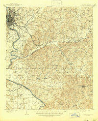
1908 Columbus
Muscogee County, GA

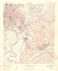
1929 Columbus
Muscogee County, GA

1947 Columbus
Muscogee County, GA
1949 Columbus
Muscogee County, GA
1955 Columbus
Muscogee County, GA
1955 Columbus
Muscogee County, GA
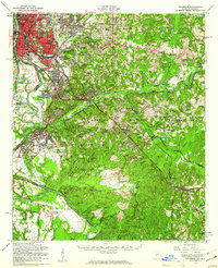
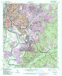
1999 Columbus
Muscogee County, GA
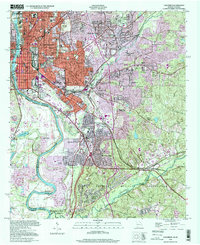
2011 Columbus
Muscogee County, GA
2014 Columbus
Muscogee County, GA
2017 Columbus
Muscogee County, GA
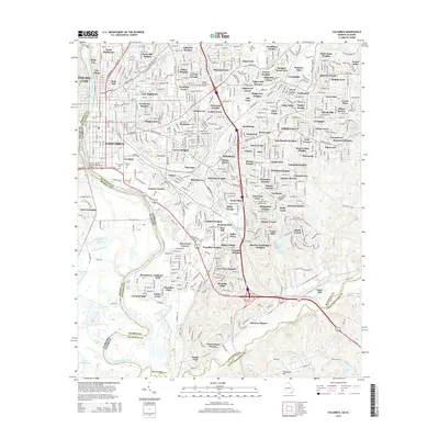
2020 Columbus
Muscogee County, GA
2024 Columbus
Muscogee County, GA