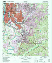
1999 Map of Columbus
USGS Topo · Published 2001About this map
The Chattahoochee River forms the industrial and geographic backbone of this border region, where the urban grid of Columbus meets the northern edge of the Fort Benning Military Reservation. Along the riverbanks, the legacy of textile and milling history is evident at City Mills, while the rail networks of the Central of Georgia and Southern railroads tie the city to the wider southern trade routes. The landscape transitions from the dense streetcar-era neighborhoods like Rose Hill and Waverly Terrace into the mid-century sprawl of Woodlawn Estates and Highland Park.
Find a feature on this map
117 named features on this map. Tap any name to fly to it.
Don’t see what you’re looking for? This feature index may not catch every label — zoom into the map to look around manually.
Map Details
Editions of this 1999 Columbus Map
This is the sole edition of this map. No revisions or reprints were ever made.
Other maps of this area

1907 · Talbotton
USGS Topo · 1:125,000

1907 · Opelika
USGS Topo · 1:125,000

1908 · Columbus
USGS Topo · 1:62,500

1909 · Opelika
USGS Topo · 1:125,000

1914 · Seale
USGS Topo · 1:62,500

1929 · Columbus
USGS Topo · 1:48,000

1947 · Columbus
USGS Topo · 1:62,500

1949 · Midland
USGS Topo · 1:24,000

1949 · Fort Mitchell
USGS Topo · 1:24,000

1949 · Ochillee
USGS Topo · 1:24,000