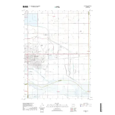
2017 Map of Columbus
USGS Topo · Published 2017About this map
Columbus sits at a significant Nebraska hydrological junction where the Loup River meets the Platte River. This 2017 survey details a landscape defined by water management and aviation, featuring the sprawling Lake North and Lake Babcock reservoirs to the north and the engineered path of the Loup River Canal. The city's growth is evident in the dense street grid and the presence of critical infrastructure like the Columbus Municipal Airport and the smaller Loseke Airstrip to the northeast. For genealogists and local historians, the map provides precise locations for Roselawn Cem, Catholic Cem, and Columbus Cem. The southern portion of the sheet captures the braided channels of the Platte, including the South Channel Platte River and Bellwood Lake, illustrating the complex river system that has shaped the region's development and transportation, highlighted by the Columbus Loup River Bridge.
Find a feature on this map
86 named features on this map. Tap any name to fly to it.
Don’t see what you’re looking for? This feature index may not catch every label — zoom into the map to look around manually.
Map Details
Editions of this 2017 Columbus Map
This is the sole edition of this map. No revisions or reprints were ever made.
Other maps of this area

1899 · David City
USGS Topo · 1:125,000

1955 · Fremont
USGS Topo · 1:250,000

1957 · Fremont
USGS Topo · 1:250,000

1958 · Fremont
USGS Topo · 1:250,000

1958 · Duncan
USGS Topo · 1:24,000

1958 · Columbus SW
USGS Topo · 1:24,000

1958 · Columbus SE
USGS Topo · 1:24,000

1958 · Columbus
USGS Topo · 1:24,000

1966 · Clarkson SW
USGS Topo · 1:24,000

1966 · Platte Center
USGS Topo · 1:24,000
Featured Places
- Columbus, NE
- Carriage House Estates, Columbus
- Country Mobile Villa, NE
- Platte County, NE
- Butler County, NE