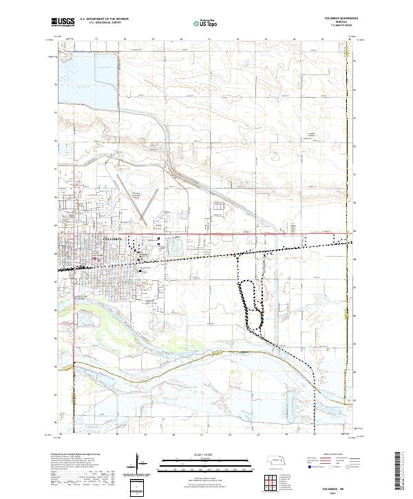
2021 Map of Columbus
USGS Topo · Published 2021About this map
Columbus sits at the significant confluence of the Platte River and the Loup River, a landscape defined by water management and regional transit in the early 21st century. The city's civic core is anchored by the Platte County Courthouse, while its growth is reflected in the residential expansions and industrial corridors reaching toward the Columbus Municipal Airport. The complex hydrology of the area is evident in the Loup River Canal, which feeds into Lake Babcock and Lake North, supporting both utility and recreation.
Find a feature on this map
61 named features on this map. Tap any name to fly to it.
Don’t see what you’re looking for? This feature index may not catch every label — zoom into the map to look around manually.
Map Details
Editions of this 2021 Columbus Map
This is the sole edition of this map. No revisions or reprints were ever made.
Other maps of this area

1899 · David City
USGS Topo · 1:125,000

1955 · Fremont
USGS Topo · 1:250,000

1957 · Fremont
USGS Topo · 1:250,000

1958 · Fremont
USGS Topo · 1:250,000

1958 · Duncan
USGS Topo · 1:24,000

1958 · Columbus SW
USGS Topo · 1:24,000

1958 · Columbus SE
USGS Topo · 1:24,000

1958 · Columbus
USGS Topo · 1:24,000

1966 · Clarkson SW
USGS Topo · 1:24,000

1966 · Platte Center
USGS Topo · 1:24,000
Featured Places
- Columbus, NE
- Carriage House Estates, Columbus
- Country Mobile Villa, NE
- Platte County, NE
- Butler County, NE