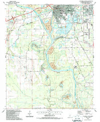
1987 Map of Columbus South
USGS Topo · Published 1987About this map
The Tennessee Tombigbee Waterway dominates the western portion of this 1980s survey, illustrating the managed river system that reshaped the landscape south of Columbus. The map reveals a complex network of disposal areas and gravel pits adjacent to the waterway, contrasting with the long-established residential and civic sites like Friendship Cem and the Fairground. To the east, the Columbus-Lowndes County Airport and the expanding reach of Yorkville show the mid-century suburbanization of the region. Local history is anchored by several rural landmarks, including St Paul Ch, Brick Ch, and Mitchell Mem Sch, while the presence of the Burlington Northern and Gulf and Mississippi railroads highlights the area's continued reliance on rail for commerce. This period shows the transition between traditional riverside industry and modern infrastructure like the Luxapallila Creek Recreation Area.
Find a feature on this map
64 named features on this map. Tap any name to fly to it.
Don’t see what you’re looking for? This feature index may not catch every label — zoom into the map to look around manually.
Map Details
Editions of this 1987 Columbus South Map
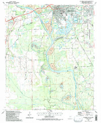
2 editions found
Other maps of this area

1953 · West Point
USGS Topo · 1:250,000

1958 · West Point
USGS Topo · 1:250,000

1959 · Artesia
USGS Topo · 1:62,500

1959 · West Point
USGS Topo · 1:62,500

1960 · Caledonia
USGS Topo · 1:62,500

1960 · Columbus
USGS Topo · 1:62,500

1963 · West Point
USGS Topo · 1:250,000

1982 · West Point
USGS Topo · 1:100,000

1984 · West Point
USGS Topo · 1:250,000
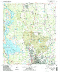
1987 · Columbus North
USGS Topo · 1:24,000