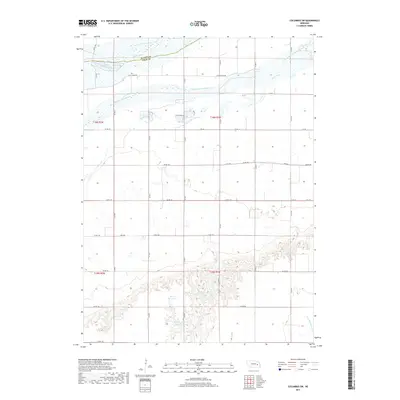
2017 Map of Columbus SW
USGS Topo · Published 2017About this map
The Platte River and its complex South Channel Platte River define the northern landscape of this Platte and Polk County borderland. This modern 2017 survey captures a predominantly agricultural region marked by a precise grid of rural routes, including Co Rd 141 and Co Rd 138, which section the plains. The southern portion of the map is characterized by a significant transition in topography, where the land drops away into more intricate drainage patterns near the headwaters of the N Br Big Blue River. Local water management is evident in the cluster of private impoundments such as Perry Reservoir, Scow Reservoir, and the Messing-Scow Reservoir. These features, along with the meandering path of Clear Creek, illustrate the vital role of water conservation and irrigation in maintaining the productivity of this Nebraska prairie.
Find a feature on this map
32 named features on this map. Tap any name to fly to it.
Don’t see what you’re looking for? This feature index may not catch every label — zoom into the map to look around manually.
Map Details
Editions of this 2017 Columbus SW Map
This is the sole edition of this map. No revisions or reprints were ever made.
Other maps of this area

1896 · Stromsburg
USGS Topo · 1:125,000

1899 · David City
USGS Topo · 1:125,000

1955 · Fremont
USGS Topo · 1:250,000

1957 · Fremont
USGS Topo · 1:250,000

1958 · Fremont
USGS Topo · 1:250,000

1958 · Monroe
USGS Topo · 1:24,000

1958 · Duncan
USGS Topo · 1:24,000

1958 · Columbus SW
USGS Topo · 1:24,000

1958 · Silver Creek SE
USGS Topo · 1:24,000

1958 · Columbus SE
USGS Topo · 1:24,000