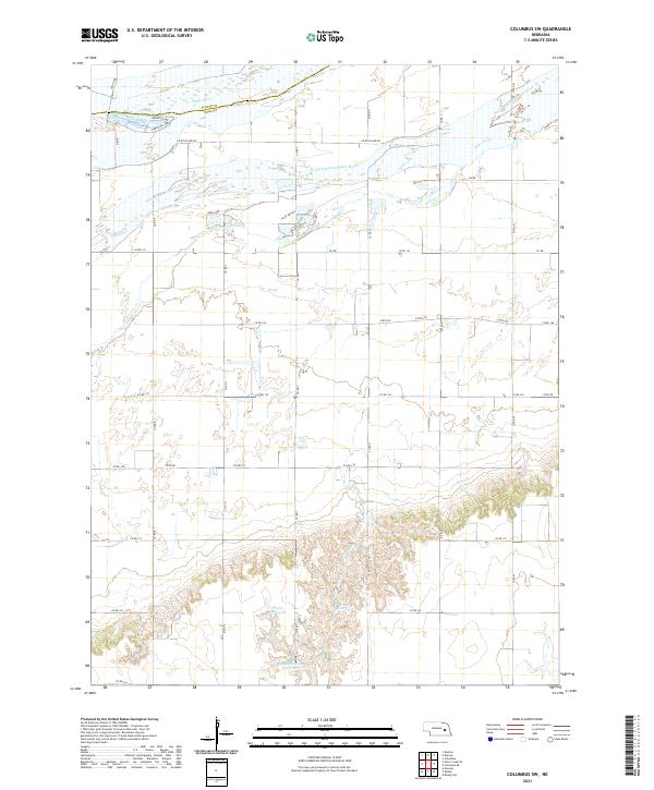
2021 Map of Columbus SW
USGS Topo · Published 2021About this map
The Platte River and its braided South Channel Platte River dominate the northern landscape of this Polk County region. The terrain transitions from the wide, low-lying river bottom—marked by features like Beaver Island—to a southern upland punctuated by artificial water bodies. These reservoirs, including Perry Reservoir, Scow Reservoir, and Messing-Scow Reservoir, indicate a highly managed agricultural hydrology designed to capture runoff from the surrounding prairie draws. A dense grid of section roads, such as Co Rd Island Rd and Co Rd T, overlays the countryside, following the classic Public Land Survey System structure. Along Clear Creek, the landscape is characterized by a mix of natural drainage and small ponds like Deer Lake, reflecting the intersection of Nebraska's riverine ecosystems and rural infrastructure.
Find a feature on this map
35 named features on this map. Tap any name to fly to it.
Don’t see what you’re looking for? This feature index may not catch every label — zoom into the map to look around manually.
Map Details
Editions of this 2021 Columbus SW Map
This is the sole edition of this map. No revisions or reprints were ever made.
Other maps of this area

1896 · Stromsburg
USGS Topo · 1:125,000

1899 · David City
USGS Topo · 1:125,000

1955 · Fremont
USGS Topo · 1:250,000

1957 · Fremont
USGS Topo · 1:250,000

1958 · Fremont
USGS Topo · 1:250,000

1958 · Monroe
USGS Topo · 1:24,000

1958 · Duncan
USGS Topo · 1:24,000

1958 · Columbus SW
USGS Topo · 1:24,000

1958 · Silver Creek SE
USGS Topo · 1:24,000

1958 · Columbus SE
USGS Topo · 1:24,000