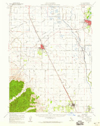
1953 Map of Colusa
USGS Topo · Published 1960About this map
The Sacramento River forms a serpentine eastern boundary for this Central Valley landscape, where the town of Colusa serves as a hub for the surrounding agricultural plains. Westward across the Colusa Trough, the town of Williams sits at a crossroads of rail and road, featuring a prominent Drive-in Theater and Union HS. The region's commitment to conservation and recreation is evident in the established Colusa National Wildlife Refuge and numerous private sporting grounds such as the Kuhl Gun Club and Northern Gun Club.
Find a feature on this map
60 named features on this map. Tap any name to fly to it.
Don’t see what you’re looking for? This feature index may not catch every label — zoom into the map to look around manually.
Map Details
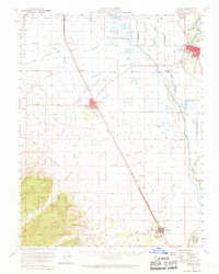
Editions of this 1953 Colusa Map
2 editions found
Other maps of this area

1888 · Marysville
USGS Topo · 1:125,000

1891 · Marysville
USGS Topo · 1:125,000

1894 · Marysville
USGS Topo · 1:125,000

1895 · Marysville
USGS Topo · 1:125,000

1904 · Sites
USGS Topo · 1:24,000

1905 · Harrington
USGS Topo · 1:24,000

1905 · Fairview
USGS Topo · 1:24,000

1906 · Maxwell
USGS Topo · 1:62,500

1907 · Dunnigan
USGS Topo · 1:62,500

1907 · Colusa
USGS Topo · 1:62,500