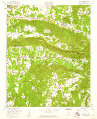
1957 Map of Colvin Gap
USGS Topo · Published 1960About this map
Colvin Mountain dominates this topographic survey, stretching across the boundary between Etowah and Calhoun counties. The mid-century landscape is defined by its small-scale social centers, with numerous rural congregations like Ford Valley Ch, New Liberty Ch, and Webster Chapel serving the surrounding farmland. In the northwest, Hokes Bluff sits near the headwaters of Dry Creek, while the southern reaches are marked by the presence of Williams Sch and several family-named burial sites including Landers Cem. The geography transitions from the higher elevations of Wilson Mtn and Round Mountain to the creek valleys where Thompson Lake and Bennetts Lake provided local water sources. This 1957 field check documents the rural road network, including Route 278 and 74, that connected these dispersed communities before modern infrastructure shifts altered the local footprint.
Find a feature on this map
29 named features on this map. Tap any name to fly to it.
Don’t see what you’re looking for? This feature index may not catch every label — zoom into the map to look around manually.
Map Details
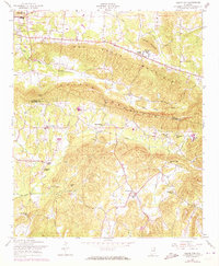
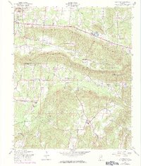
Editions of this 1957 Colvin Gap Map
3 editions found
Other maps of this area

1893 · Fort Payne
USGS Topo · 1:125,000

1898 · Fort Payne
USGS Topo · 1:125,000

1900 · Fort Payne
USGS Topo · 1:125,000

1900 · Anniston
USGS Topo · 1:125,000

1947 · Colvin Gap
USGS Topo · 1:24,000

1947 · Jacksonville
USGS Topo · 1:24,000

1947 · Glencoe
USGS Topo · 1:24,000

1947 · Wellington
USGS Topo · 1:24,000

1947 · Jacksonville
USGS Topo · 1:62,500

1953 · Atlanta
USGS Topo · 1:250,000