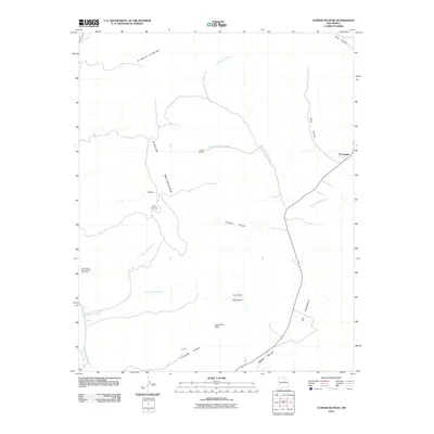
2010 Map of Comanche Peak
USGS Topo · Published 2010About this map
Rincon Mountains and the high drainage basins of the Mora Valley define this portion of Mora County. The landscape is marked by several small, isolated settlements including El Turquillo, Luceros, and Los Hornos, which reflect the historical pattern of rural livestock ranching and limited high-altitude agriculture. The presence of the Immaculate Heart of Mary Cemetery serves as a vital anchor for family researchers, while industrial activity is noted at A and M Mining near Cañada de los Lovatos. The terrain is deeply dissected by numerous steep arroyos and canyons, such as Trumbell Canyon and Solis Canyon, which channel water toward the Mora River. The map provides a detailed look at the geographic relationship between these remote communities and the dramatic topographic features of Comanche Peak and the surrounding tablelands of La Tierra Amarilla.
Find a feature on this map
21 named features on this map. Tap any name to fly to it.
Don’t see what you’re looking for? This feature index may not catch every label — zoom into the map to look around manually.
Map Details
Editions of this 2010 Comanche Peak Map
This is the sole edition of this map. No revisions or reprints were ever made.
Other maps of this area

1889 · Las Vegas
USGS Topo · 1:125,000

1891 · Las Vegas
USGS Topo · 1:125,000

1893 · Las Vegas
USGS Topo · 1:125,000

1954 · Santa Fe
USGS Topo · 1:250,000

1954 · Raton
USGS Topo · 1:250,000

1958 · Raton
USGS Topo · 1:250,000

1958 · Santa Fe
USGS Topo · 1:250,000

1963 · Rainsville
USGS Topo · 1:24,000

1965 · Chacon
USGS Topo · 1:24,000

1965 · Holman
USGS Topo · 1:24,000