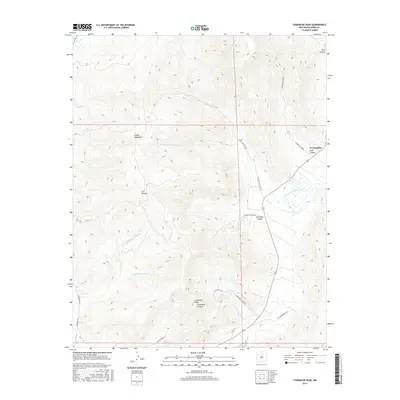
2017 Map of Comanche Peak
USGS Topo · Published 2017About this map
Comanche Peak and the Rincon Mountains define the high, drainage-etched landscape of this corner of Mora County. The small settlement of El Turquillo sits on the eastern edge near the mouth of Solis Canyon, while the high-altitude site of Los Hornos is tucked further west among the ridges. The complex network of cañadas, including La Cañada de los Maes and Cañada de la Cueva, illustrates how water movement has carved the local topography, eventually feeding into the Mora River at the map's southern edge.
Find a feature on this map
23 named features on this map. Tap any name to fly to it.
Don’t see what you’re looking for? This feature index may not catch every label — zoom into the map to look around manually.
Map Details
Editions of this 2017 Comanche Peak Map
This is the sole edition of this map. No revisions or reprints were ever made.
Other maps of this area

1889 · Las Vegas
USGS Topo · 1:125,000

1891 · Las Vegas
USGS Topo · 1:125,000

1893 · Las Vegas
USGS Topo · 1:125,000

1954 · Santa Fe
USGS Topo · 1:250,000

1954 · Raton
USGS Topo · 1:250,000

1958 · Raton
USGS Topo · 1:250,000

1958 · Santa Fe
USGS Topo · 1:250,000

1963 · Rainsville
USGS Topo · 1:24,000

1965 · Chacon
USGS Topo · 1:24,000

1965 · Holman
USGS Topo · 1:24,000