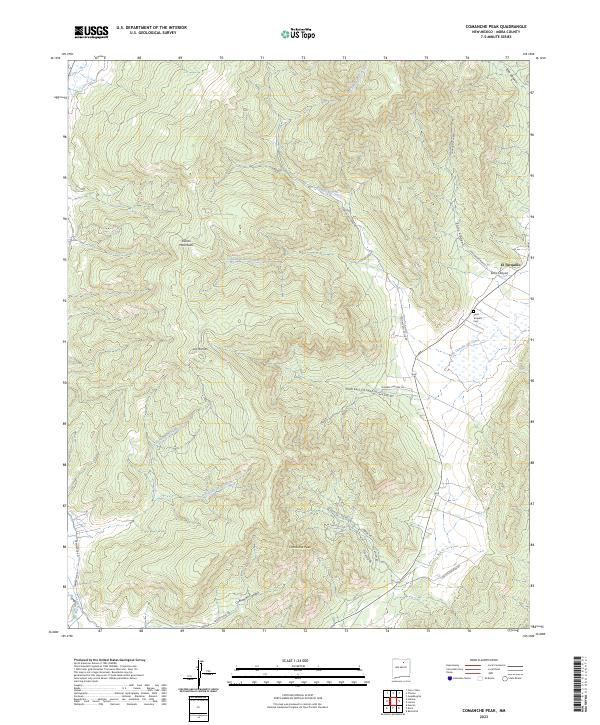
2023 Map of Comanche Peak
USGS Topo · Published 2023About this map
El Turquillo serves as a primary settlement point in this high-elevation landscape of Mora County, situated near the confluence of Solis Canyon and La Cañada del Carro. The area is defined by sharp topographic relief, dominated by the Rincon Mountains to the west and the prominent Comanche Peak to the south. Historically significant landmarks like Saint Teresita Cem provide a focal point for genealogical research in this rural pocket of New Mexico.
Find a feature on this map
30 named features on this map. Tap any name to fly to it.
Don’t see what you’re looking for? This feature index may not catch every label — zoom into the map to look around manually.
Map Details
Editions of this 2023 Comanche Peak Map
This is the sole edition of this map. No revisions or reprints were ever made.
Other maps of this area

1889 · Las Vegas
USGS Topo · 1:125,000

1891 · Las Vegas
USGS Topo · 1:125,000

1893 · Las Vegas
USGS Topo · 1:125,000

1954 · Santa Fe
USGS Topo · 1:250,000

1954 · Raton
USGS Topo · 1:250,000

1958 · Raton
USGS Topo · 1:250,000

1958 · Santa Fe
USGS Topo · 1:250,000

1963 · Rainsville
USGS Topo · 1:24,000

1965 · Chacon
USGS Topo · 1:24,000

1965 · Holman
USGS Topo · 1:24,000