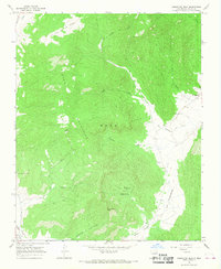
1965 Map of Comanche Peak
USGS Topo · Published 1968About this map
Comanche Peak rises above the deep drainage of the Mora Valley in this mid-1960s survey of Mora County. The landscape is defined by the steep slopes of the Mora Mountains and a complex network of canyons including Silva Canyon, Solis Canyon, and Trumbell Canyon. Along the floor of the valley, the Mora River supports small clusters of settlement and community infrastructure, notably the Mora Valley Clinic.
Find a feature on this map
26 named features on this map. Tap any name to fly to it.
Don’t see what you’re looking for? This feature index may not catch every label — zoom into the map to look around manually.
Map Details
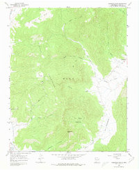
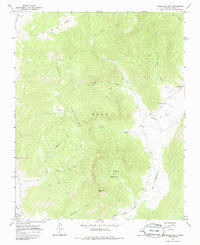
Editions of this 1965 Comanche Peak Map
Other maps of this area

1889 · Las Vegas
USGS Topo · 1:125,000

1891 · Las Vegas
USGS Topo · 1:125,000

1893 · Las Vegas
USGS Topo · 1:125,000

1954 · Santa Fe
USGS Topo · 1:250,000

1954 · Raton
USGS Topo · 1:250,000

1958 · Raton
USGS Topo · 1:250,000

1958 · Santa Fe
USGS Topo · 1:250,000

1963 · Rainsville
USGS Topo · 1:24,000

1965 · Chacon
USGS Topo · 1:24,000

1965 · Holman
USGS Topo · 1:24,000