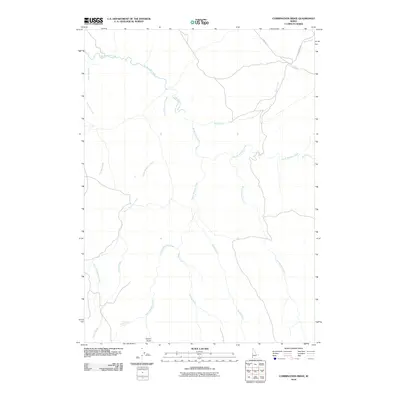
2010 Map of Combination Ridge
USGS Topo · Published 2010About this map
Big Boulder Creek and its many tributaries carve through this high-elevation drainage system in Owyhee County. The landscape is defined by its complex hydrography, where South Boulder Creek, North Boulder Creek, and South Mountain Creek converge from various directions to form a primary watershed. Human activity is sparse on the terrain, marked primarily by the presence of Flint Rd in the northeast and a few secondary routes that navigate the steep elevations. Notable topographic variations are found at Vulcan Gulch in the southwest. The intricate network of waterways, including Combination Creek and Bogus Creek, suggests a region where water management and natural drainage are central to the land's utility and character during this period of the early 21st century.
Find a feature on this map
14 named features on this map. Tap any name to fly to it.
Don’t see what you’re looking for? This feature index may not catch every label — zoom into the map to look around manually.
Map Details
Editions of this 2010 Combination Ridge Map
This is the sole edition of this map. No revisions or reprints were ever made.
Other maps of this area

1955 · Jordan Valley
USGS Topo · 1:250,000

1957 · Jordan Valley
USGS Topo · 1:250,000

1958 · Jordan Valley
USGS Topo · 1:250,000

1965 · Triangle
USGS Topo · 1:62,500

1965 · Flint Creek
USGS Topo · 1:62,500

1973 · Indian Meadows
USGS Topo · 1:24,000

1973 · Wickiup Creek
USGS Topo · 1:24,000

1973 · Cliffs
USGS Topo · 1:24,000
1990 · Triangle
USGS Topo · 1:100,000
1990 · Triangle Flat
USGS Topo · 1:24,000