
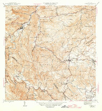
1946 Map of Comerio
USGS Topo · Published 1946About this map
The town of Comerio sits along the winding course of the Rio La Plata, serving as a focal point for the mountain interior during the mid-1940s. The landscape is defined by its deep river valleys and high peaks, including Cerro La Tiza and Cerro Santa Barbara. Significant social infrastructure is evident through the placement of rural educational centers such as the Escuela Segunda Unidad de Palomas and the Escuela Superior de Comerio.
Find a feature on this map
57 named features on this map. Tap any name to fly to it.
Don’t see what you’re looking for? This feature index may not catch every label — zoom into the map to look around manually.
Map Details
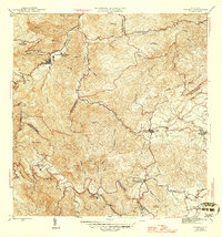
Editions of this 1946 Comerio Map
3 editions found
Other maps of this area

1946 · Patillas
USGS Topo · 1:30,000

1946 · Coamo
USGS Topo · 1:30,000

1946 · Aguas Buenas
USGS Topo · 1:30,000

1946 · Corozal
USGS Topo · 1:30,000

1946 · Barranquitas
USGS Topo · 1:30,000

1946 · Cayey
USGS Topo · 1:30,000

1946 · Naranjito
USGS Topo · 1:30,000

1946 · Caguas
USGS Topo · 1:30,000

1947 · Cayey NO
USGS Topo · 1:10,000
1947 · Naranjito SO
USGS Topo · 1:10,000