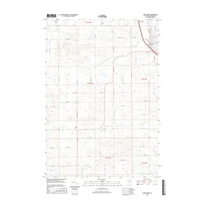
2015 Map of Como Creek
USGS Topo · Published 2015About this map
Bloomer serves as the primary municipal center in this section of Chippewa County, situated at the confluence of the local road network and the banks of Lake Como. The landscape is defined by its intricate drainage patterns, with Como Creek and Duncan Cr winding through a terrain segmented by a precise grid of rural thoroughfares such as Co Hwy Q and Cooks Valley Rd. This 2015 survey illustrates a mature agricultural and residential layout, where small communal landmarks like Auburn Cem and Cooks Valley Cem indicate long-standing local settlement patterns.
Find a feature on this map
59 named features on this map. Tap any name to fly to it.
Don’t see what you’re looking for? This feature index may not catch every label — zoom into the map to look around manually.
Map Details
Editions of this 2015 Como Creek Map
This is the sole edition of this map. No revisions or reprints were ever made.
Other maps of this area

1934 · Elk Mound
USGS Topo · 1:62,500

1934 · Chippewa Falls
USGS Topo · 1:62,500

1936 · Chippewa Falls
USGS Topo · 1:62,500

1936 · Elk Mound
USGS Topo · 1:62,500

1949 · Bloomer
USGS Topo · 1:62,500

1949 · New Auburn
USGS Topo · 1:62,500

1951 · Bloomer
USGS Topo · 1:62,500

1951 · New Auburn
USGS Topo · 1:62,500

1953 · Eau Claire
USGS Topo · 1:250,000

1953 · Rice Lake
USGS Topo · 1:250,000