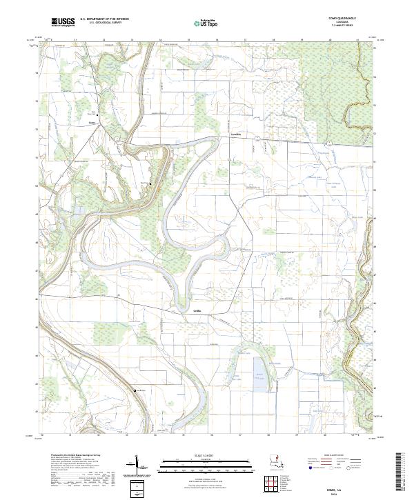
2024 Map of Como
USGS Topo · Published 2024About this map
Bayou Macon and the Tensas River define the intricate hydrology of this Louisiana landscape, where winding waterways and swampy brakes separate small communities. The settlement of Como serves as a focal point near the northern border, while Griffin and Lorelein mark the slower-paced interior. This recent survey reflects the persistent agricultural and riparian character of the region, visible in the dense network of local roads like Rushing Rd and Beeler Lake Rd that navigate between water bodies. Genealogists will find notable value in the location of several family-linked burial sites, including State Place Cem, Ward Cem, and Eureka Cem. The transition from Franklin Parish into Tensas Parish is marked by the natural curve of the river, emphasizing how the floodplain has historically dictated political and physical boundaries in the delta.
Find a feature on this map
65 named features on this map. Tap any name to fly to it.
Don’t see what you’re looking for? This feature index may not catch every label — zoom into the map to look around manually.
Map Details
Editions of this 2024 Como Map
This is the sole edition of this map. No revisions or reprints were ever made.
Other maps of this area

1935 · Winnsboro
USGS Topo · 1:62,500

1935 · Shackleford Lake
USGS Topo · 1:62,500

1939 · Locust Ridge
USGS Topo · 1:62,500

1941 · Sicily Island
USGS Topo · 1:62,500

1953 · Natchez
USGS Topo · 1:250,000

1955 · Jackson
USGS Topo · 1:250,000

1956 · Natchez
USGS Topo · 1:250,000

1957 · Sicily Island
USGS Topo · 1:62,500

1958 · Shackleford Lake
USGS Topo · 1:62,500

1958 · Winnsboro
USGS Topo · 1:62,500