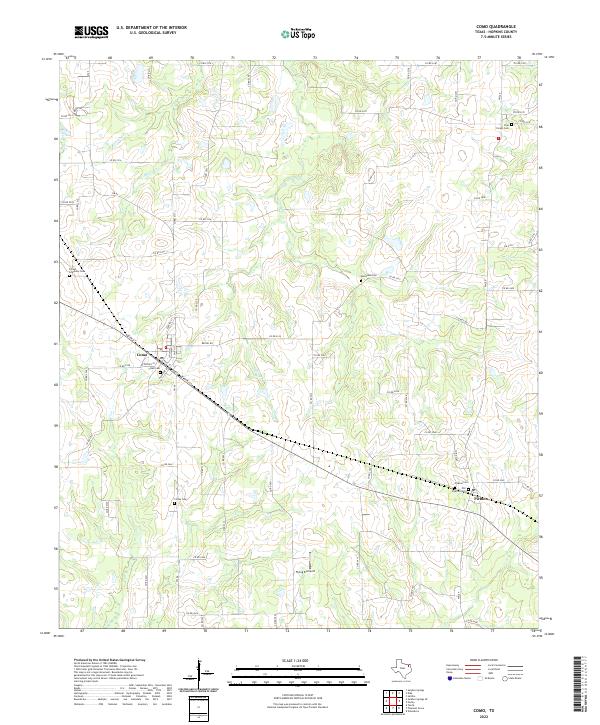
2022 Map of Como
USGS Topo · Published 2022About this map
Como and Pickton anchor this eastern Texas landscape, characterized by a dense network of county roads and numerous historic burial grounds. The settlement pattern is rooted in local history, with several distinct cemeteries including Forest Academy Cem, Woodland Cem, and Coffey Cem scattered across the countryside. The geography is defined by the headwaters and tributaries of Richland Cr and Morris Cr, which wind through the terrain. Evidence of the region's infrastructure is visible in the presence of the Como PO and Pickton PO, alongside the Flying B Airport located south of the main settlements. For genealogists, the map provides precise locations for family-named sites like Pickton Cem and the nearby Old Pickton Cem, offering a detailed look at the rural Hopkins County community in the early twenty-first century.
Find a feature on this map
72 named features on this map. Tap any name to fly to it.
Don’t see what you’re looking for? This feature index may not catch every label — zoom into the map to look around manually.
Map Details
Editions of this 2022 Como Map
This is the sole edition of this map. No revisions or reprints were ever made.
Other maps of this area

1953 · Texarkana
USGS Topo · 1:250,000

1956 · Texarkana
USGS Topo · 1:250,000

1956 · Tyler
USGS Topo · 1:250,000

1959 · Yantis
USGS Topo · 1:24,000

1959 · Alba
USGS Topo · 1:62,500

1960 · Winnsboro
USGS Topo · 1:24,000

1960 · Pleasant Grove
USGS Topo · 1:24,000

1964 · Saltillo
USGS Topo · 1:24,000

1964 · Como
USGS Topo · 1:24,000

1964 · Purley
USGS Topo · 1:24,000