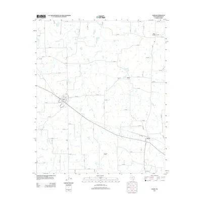
2013 Map of Como
USGS Topo · Published 2013About this map
Como serves as the primary hub of this East Texas landscape, where a defined grid of streets like Gaskins St intersects the regional road network. The surrounding Hopkins County countryside is a patchwork of small-scale agriculture and rural homesteads, punctuated by the small communities of Bethel, Pickton, and Pine Forest. This area maintains its traditional rural character, evidenced by the numerous family and community burial grounds found along the backroads, including Woodland Cem, Coffee Cem, and New Pickton Cem.
Find a feature on this map
80 named features on this map. Tap any name to fly to it.
Don’t see what you’re looking for? This feature index may not catch every label — zoom into the map to look around manually.
Map Details
Editions of this 2013 Como Map
This is the sole edition of this map. No revisions or reprints were ever made.
Other maps of this area

1953 · Texarkana
USGS Topo · 1:250,000

1956 · Texarkana
USGS Topo · 1:250,000

1956 · Tyler
USGS Topo · 1:250,000

1959 · Yantis
USGS Topo · 1:24,000

1959 · Alba
USGS Topo · 1:62,500

1960 · Winnsboro
USGS Topo · 1:24,000

1960 · Pleasant Grove
USGS Topo · 1:24,000

1964 · Saltillo
USGS Topo · 1:24,000

1964 · Como
USGS Topo · 1:24,000

1964 · Purley
USGS Topo · 1:24,000