
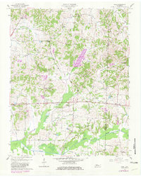
1957 Map of Como
USGS Topo · Published 1958About this map
The Middle Fork Obion River meanders across the southern portion of this landscape, defining a region where the West Tennessee hills meet the bottomlands. In the mid-1950s, the rural character of the area was anchored by a dense network of country churches and small community centers like Como and Ore Springs. The map reveals a highly localized social geography, with places like the Eagle Hill Community Center and Central Sch serving as focal points for the surrounding farmsteads.
Find a feature on this map
49 named features on this map. Tap any name to fly to it.
Don’t see what you’re looking for? This feature index may not catch every label — zoom into the map to look around manually.
Map Details
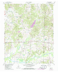
Editions of this 1957 Como Map
3 editions found
Other maps of this area

1936 · Crossland
USGS Topo · 1:24,000

1950 · Osage
USGS Topo · 1:24,000

1950 · Cottage Grove
USGS Topo · 1:24,000

1952 · Dresden
USGS Topo · 1:24,000

1955 · Henry
USGS Topo · 1:24,000

1956 · Latham
USGS Topo · 1:24,000
1956 · Palmersville
USGS Topo · 1:24,000

1956 · Dyersburg
USGS Topo · 1:250,000

1967 · Pillowville
USGS Topo · 1:24,000
1967 · Mc Kenzie
USGS Topo · 1:24,000