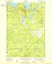
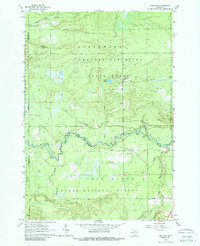
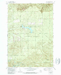
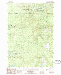
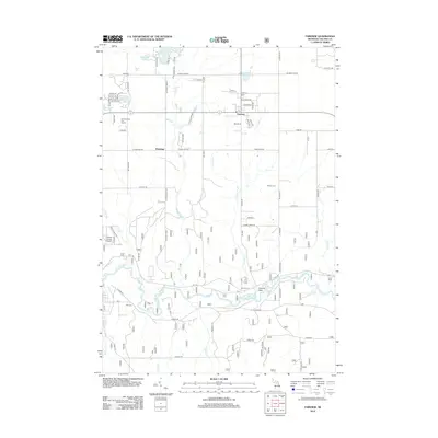
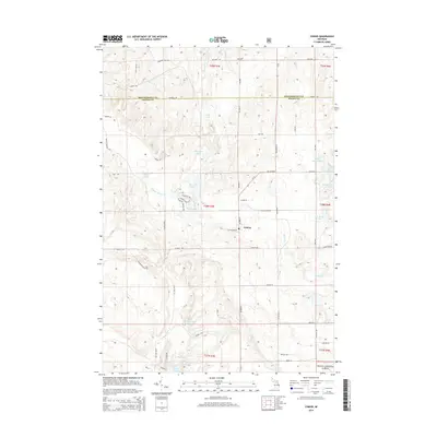
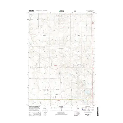
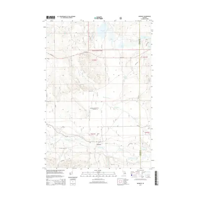
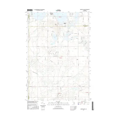
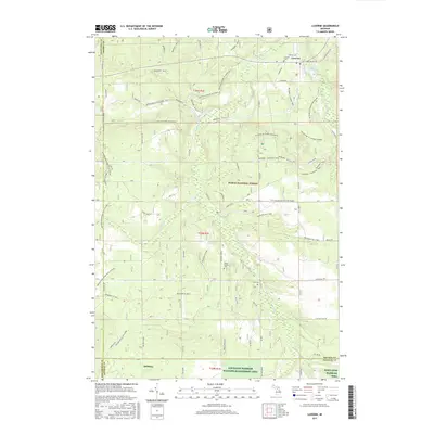
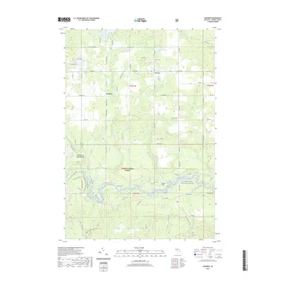
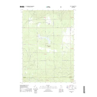
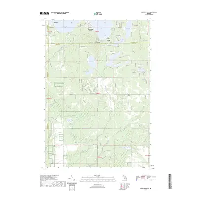
1951 Map of Comstock Hills
USGS Topo · Published 1951About this map
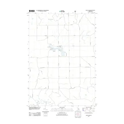
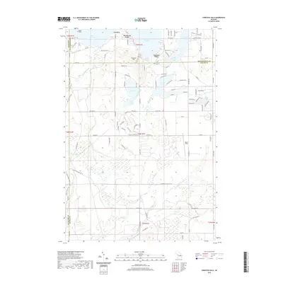
The Comstock Hills area of Northern Michigan is defined by its deep integration into the state forest system during the early 1950s. This landscape, dominated by the Au Sable State Forest and Presque Isle State Forest, exhibits a post-war shift toward seasonal recreation and tourism. Clusters of specialized lodging around East Twin Lake and West Twin Lake, such as Birdhaven Resort, Trowbridges Resort, and Murrays Cabins, signal the transition from timber extraction to a vacation-based economy.
Find a feature on this map
45 named features on this map. Tap any name to fly to it.
Don’t see what you’re looking for? This feature index may not catch every label — zoom into the map to look around manually.
Map Details
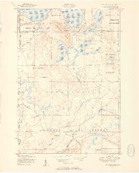
Editions of this 1951 Comstock Hills Map
2 editions found
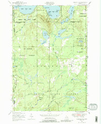
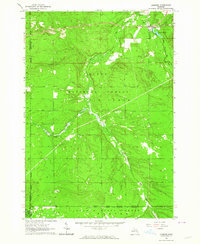
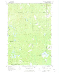
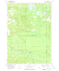
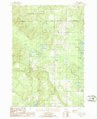
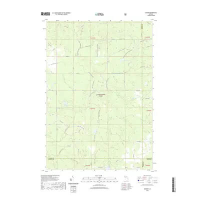
Historical Maps of Lovells Township Through Time
67 maps found
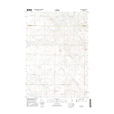
1950 Comstock Hills
Oscoda County, MI
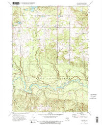
1951 Comstock Hills
Oscoda County, MI
1963 Luzerne
Oscoda County, MI
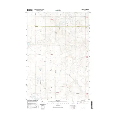
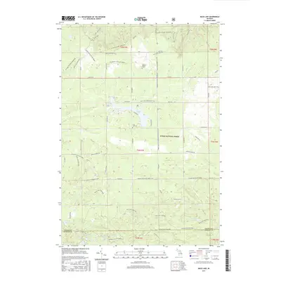
1963 Red Oak
Oscoda County, MI
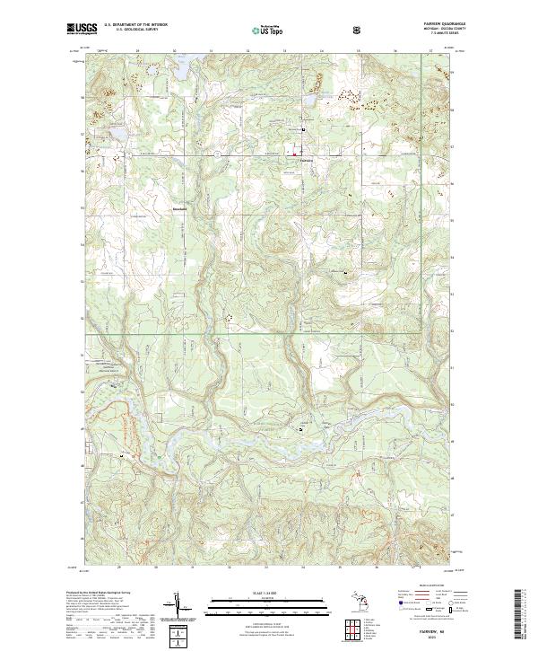
1972 Fairview
Oscoda County, MI
1972 Goodar
Oscoda County, MI
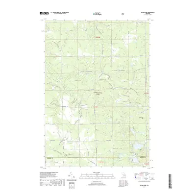
1972 Island Lake
Oscoda County, MI
1972 Mack Lake
Oscoda County, MI
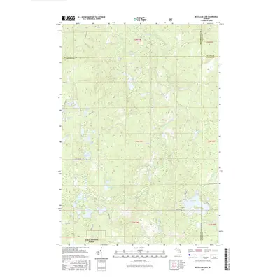
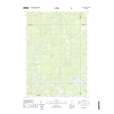
1972 McCollum Lake
Oscoda County, MI
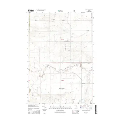
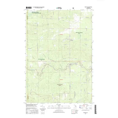
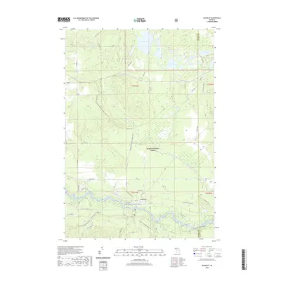
1972 McKinley
Oscoda County, MI
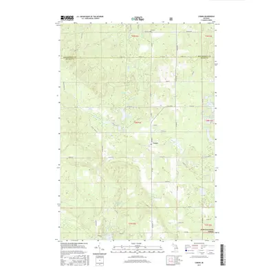
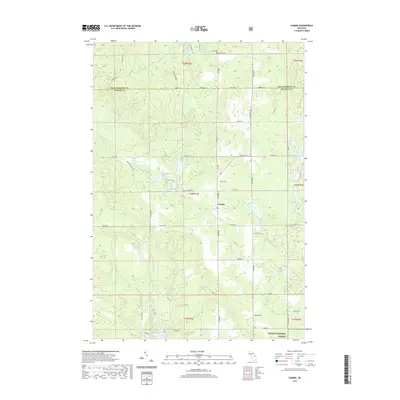
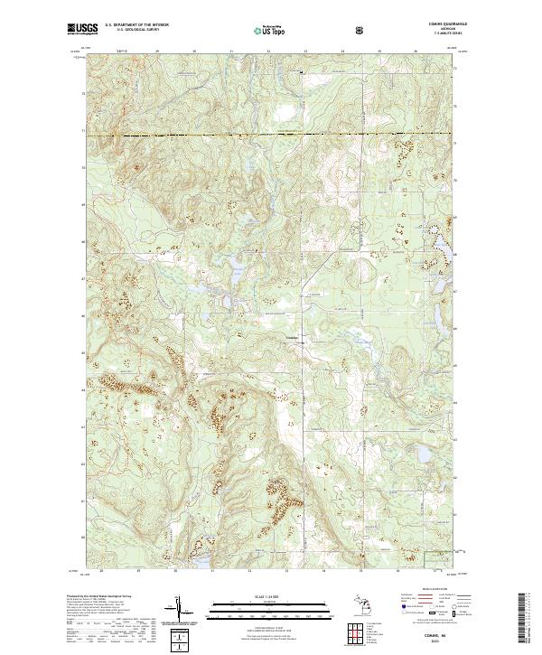
1986 Comins
Oscoda County, MI
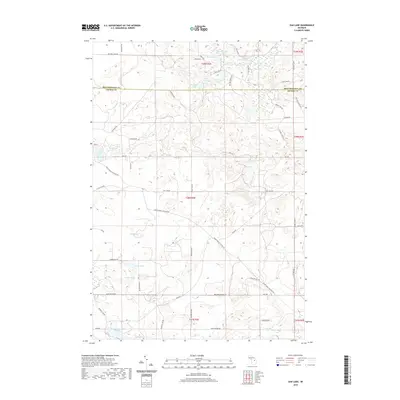
1986 Oak Lake
Oscoda County, MI
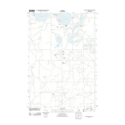
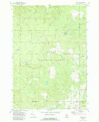
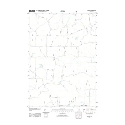
2011 Comstock Hills
Oscoda County, MI
2011 Oak Lake
Oscoda County, MI
2012 Comins
Oscoda County, MI
2012 Fairview
Oscoda County, MI
2012 Goodar
Oscoda County, MI
2012 Island Lake
Oscoda County, MI
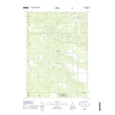
2012 Luzerne
Oscoda County, MI
2012 Mack Lake
Oscoda County, MI
2012 McCollum Lake
Oscoda County, MI
2012 McKinley
Oscoda County, MI
2012 Red Oak
Oscoda County, MI
2014 Comins
Oscoda County, MI
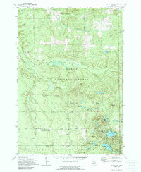
2014 Comstock Hills
Oscoda County, MI
2014 Fairview
Oscoda County, MI
2014 Goodar
Oscoda County, MI
2014 Island Lake
Oscoda County, MI
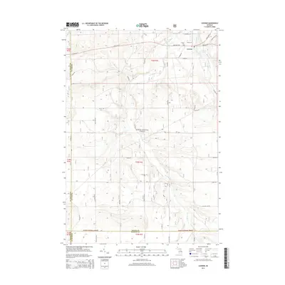
2014 Luzerne
Oscoda County, MI
2014 Mack Lake
Oscoda County, MI
2014 McCollum Lake
Oscoda County, MI
2014 McKinley
Oscoda County, MI
2014 Oak Lake
Oscoda County, MI
2014 Red Oak
Oscoda County, MI
2017 Comins
Oscoda County, MI
2017 Comstock Hills
Oscoda County, MI
2017 Fairview
Oscoda County, MI
2017 Goodar
Oscoda County, MI
2017 Island Lake
Oscoda County, MI
2017 Luzerne
Oscoda County, MI
2017 Mack Lake
Oscoda County, MI
2017 McCollum Lake
Oscoda County, MI
2017 McKinley
Oscoda County, MI
2017 Oak Lake
Oscoda County, MI
2017 Red Oak
Oscoda County, MI
2019 Comins
Oscoda County, MI
2019 Comstock Hills
Oscoda County, MI
2019 Fairview
Oscoda County, MI
2019 Goodar
Oscoda County, MI
2019 Island Lake
Oscoda County, MI
2019 Luzerne
Oscoda County, MI
2019 Mack Lake
Oscoda County, MI
2019 McCollum Lake
Oscoda County, MI
2019 McKinley
Oscoda County, MI
2019 Oak Lake
Oscoda County, MI
2019 Red Oak
Oscoda County, MI
2023 Comins
Oscoda County, MI
2023 Comstock Hills
Oscoda County, MI
2023 Fairview
Oscoda County, MI
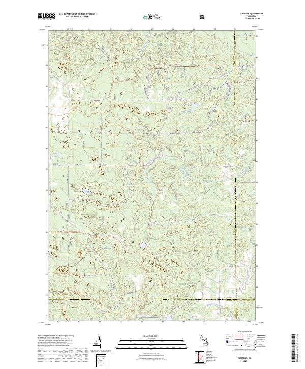
2023 Goodar
Oscoda County, MI
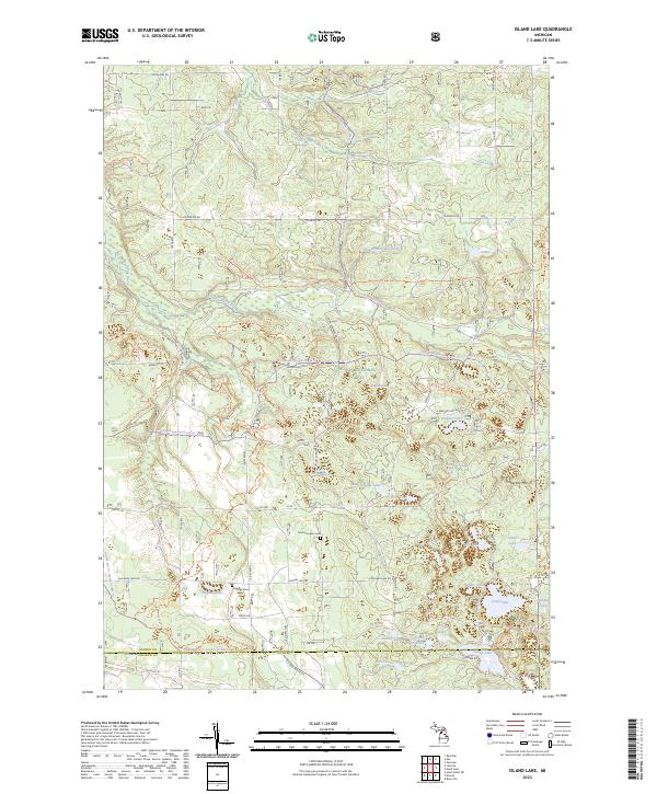
2023 Island Lake
Oscoda County, MI
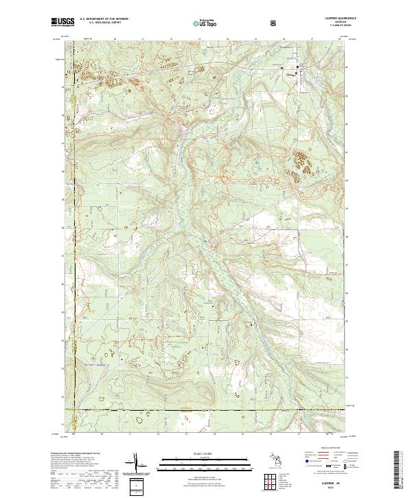
2023 Luzerne
Oscoda County, MI
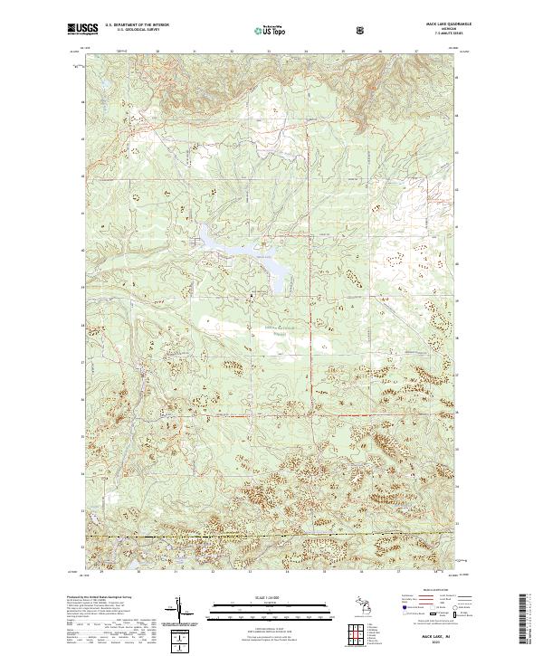
2023 Mack Lake
Oscoda County, MI
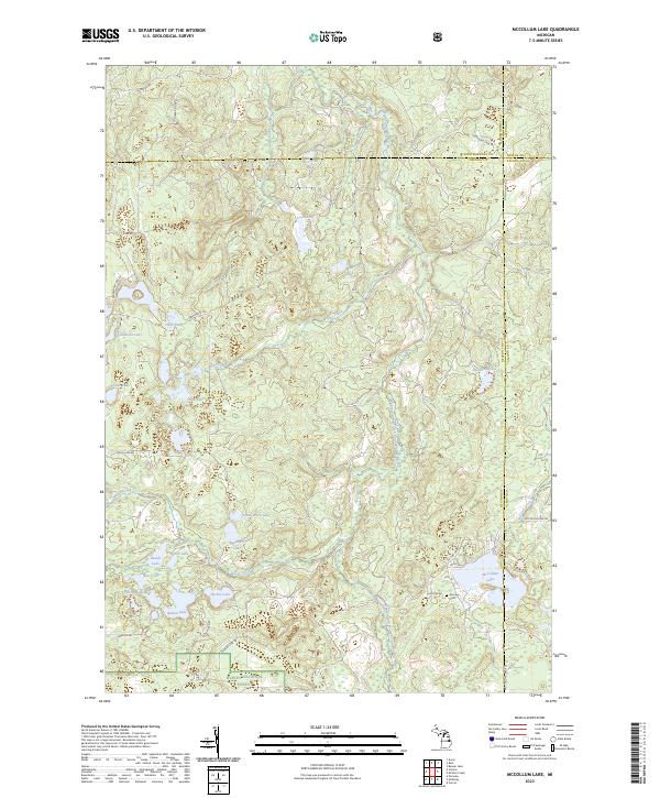
2023 McCollum Lake
Oscoda County, MI
2023 McKinley
Oscoda County, MI
2023 Oak Lake
Oscoda County, MI
2023 Red Oak
Oscoda County, MI
Featured Locations
- Charlton Township, MI
- Lovells Township, MI
- Elmer Township, MI
- Birchwood Beach, Albert Township
- Garland Village, Albert Township