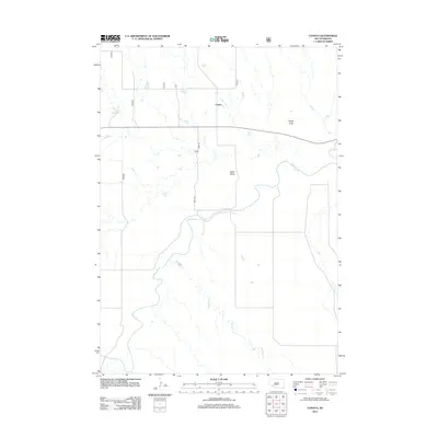
2012 Map of Conata
USGS Topo · Published 2012About this map
Conata sits in a landscape of high plains and sharp drainages where the White River winds through southwestern South Dakota. This 2012 survey documents a sparsely populated ranching region defined by its natural landmarks and watercourses. The river's path is joined by Redwater Cr, carving through the terrain south of prominent elevations like Hurley Butte and Keller Butte. These landforms provide essential orientation in a territory where roads are few, with 193rd Ave serving as a primary corridor through the valley. The map illustrates the persistent structure of rural Pennington County, showing how the original settlement patterns around Conata were dictated by the available water and the protective shelter of the surrounding buttes.
Find a feature on this map
6 named features on this map. Tap any name to fly to it.
Don’t see what you’re looking for? This feature index may not catch every label — zoom into the map to look around manually.
Map Details
Editions of this 2012 Conata Map
This is the sole edition of this map. No revisions or reprints were ever made.
Other maps of this area

1950 · Conata
USGS Topo · 1:24,000

1950 · Conata SW
USGS Topo · 1:24,000

1950 · Imlay SE
USGS Topo · 1:24,000

1950 · Bouquet Table
USGS Topo · 1:24,000

1952 · Conata NE
USGS Topo · 1:24,000

1952 · Bouquet Table
USGS Topo · 1:24,000

1952 · Conata SE
USGS Topo · 1:24,000

1952 · Conata
USGS Topo · 1:24,000

1955 · Hot Springs
USGS Topo · 1:250,000

1960 · Wall SE
USGS Topo · 1:24,000