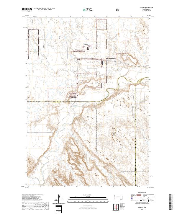
2021 Map of Conata
USGS Topo · Published 2021About this map
Conata sits at the heart of this Badlands-adjacent landscape, positioned where the high plains transition into the river drainage systems of southwest South Dakota. The topography is dominated by the sprawling reaches of the Buffalo Gap National Grassland, a vast federal holding that preserves the native prairie environment. Significant watercourses like the White River and its tributary Redwater Cr carve deep, winding paths through the terrain, creating complex contour patterns that define the southern half of the quadrangle. Prominent landmarks such as Hurley Butte and Kelley Butte rise above the surrounding grasslands, serving as natural navigational markers in an area primarily accessible via roads like SN 44 and 193rd Ave. This map also delineates specialized land management areas, including the Farm Service Agency Interest of South Dakota, reflecting the ongoing role of federal and state oversight in this rural ranching region.
Find a feature on this map
20 named features on this map. Tap any name to fly to it.
Don’t see what you’re looking for? This feature index may not catch every label — zoom into the map to look around manually.
Map Details
Editions of this 2021 Conata Map
This is the sole edition of this map. No revisions or reprints were ever made.
Other maps of this area

1950 · Conata
USGS Topo · 1:24,000

1950 · Conata SW
USGS Topo · 1:24,000

1950 · Imlay SE
USGS Topo · 1:24,000

1950 · Bouquet Table
USGS Topo · 1:24,000

1952 · Conata NE
USGS Topo · 1:24,000

1952 · Bouquet Table
USGS Topo · 1:24,000

1952 · Conata SE
USGS Topo · 1:24,000

1952 · Conata
USGS Topo · 1:24,000

1955 · Hot Springs
USGS Topo · 1:250,000

1960 · Wall SE
USGS Topo · 1:24,000