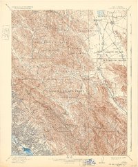
1915 Map of Concord
USGS Topo · Published 1932About this map
Monte Del Diablo serves as the topographic anchor for this East Bay landscape, where the Spanish land grant heritage is still visible through extensive ranchos like Boca De La Canada Del Pinole and Laguna De Los Palos Colorados. The 1915 revision shows early twentieth-century growth concentrated along rail corridors and creek valleys, notably where the Southern Pacific RR and Atchison Topeka and Santa Fe RR connect towns like Concord and Walnut Creek to the broader shipping networks.
Find a feature on this map
101 named features on this map. Tap any name to fly to it.
Don’t see what you’re looking for? This feature index may not catch every label — zoom into the map to look around manually.
Map Details
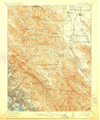
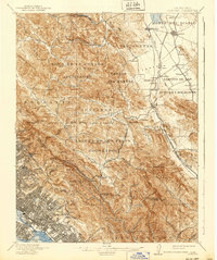
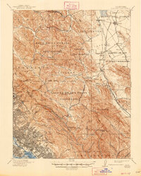
Editions of this 1915 Concord Map
5 editions found

Other maps of this area

1892 · San Mateo
USGS Topo · 1:62,500

1895 · San Francisco
USGS Topo · 1:62,500

1896 · San Mateo
USGS Topo · 1:62,500

1896 · Carquinez Strait
USGS Topo · 1:62,500

1896 · Mt. Diablo
USGS Topo · 1:62,500

1897 · Concord
USGS Topo · 1:62,500

1898 · Karquines
USGS Topo · 1:62,500

1898 · Mt. Diablo
USGS Topo · 1:62,500

1899 · San Francisco
USGS Topo · 1:62,500

1899 · Haywards
USGS Topo · 1:62,500