
1915 Map of Concord
USGS Topo · Published 1915About this map
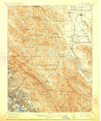
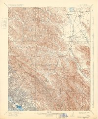
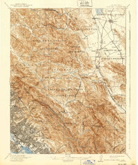
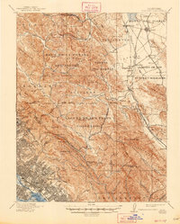
Monte del Diablo and the rolling terrain of Contra Costa County define this 1915 survey, which documents the region's transition from Mexican land grants to developing rail-centered towns. Large rancho tracts such as Boca de la Canada del Pinole and Acalanes remain prominent, while growing hubs like Concord and Walnut Creek are anchored by the Southern Pacific and local rail lines. This map is particularly notable for capturing the intricate water networks of the East Bay hills, including the source of San Pablo Creek and the headwaters of San Leandro Creek.
Find a feature on this map
112 named features on this map. Tap any name to fly to it.
Don’t see what you’re looking for? This feature index may not catch every label — zoom into the map to look around manually.
Map Details
Editions of this 1915 Concord Map
5 editions found
Other maps of this area

1892 · San Mateo
USGS Topo · 1:62,500

1895 · San Francisco
USGS Topo · 1:62,500

1896 · San Mateo
USGS Topo · 1:62,500

1896 · Carquinez Strait
USGS Topo · 1:62,500

1896 · Mt. Diablo
USGS Topo · 1:62,500

1897 · Concord
USGS Topo · 1:62,500

1898 · Karquines
USGS Topo · 1:62,500

1898 · Mt. Diablo
USGS Topo · 1:62,500

1899 · San Francisco
USGS Topo · 1:62,500

1899 · Haywards
USGS Topo · 1:62,500