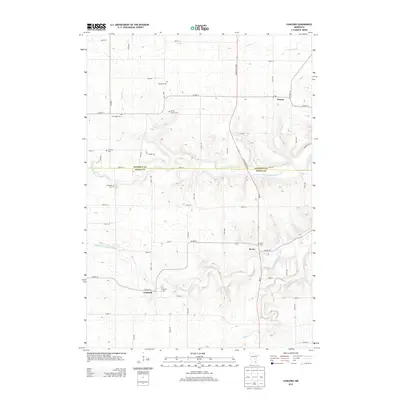
2013 Map of Concord
USGS Topo · Published 2013About this map
The Middle Fork Zumbro River and its several tributaries, including Milliken Cr and Devlin Cr, define the drainage patterns of this rural borderland between Goodhue and Dodge counties. Small agrarian settlements including Roscoe, Berne, and Concord serve as the primary hubs for the surrounding farmstead network. For genealogists, the map is a significant record of local family history, preserving the locations of numerous burial sites such as the Kelsey Family Cem, Comstock Cem, and Saint Rose Cem. The landscape is largely organized by a strict grid of county roads like Co HWY-11 and Co HWY-24, though the terrain becomes increasingly complex near the river valleys where Highway 57 Blvd cuts across the township lines.
Find a feature on this map
38 named features on this map. Tap any name to fly to it.
Don’t see what you’re looking for? This feature index may not catch every label — zoom into the map to look around manually.
Map Details
Editions of this 2013 Concord Map
This is the sole edition of this map. No revisions or reprints were ever made.
Other maps of this area

1953 · Saint Paul
USGS Topo · 1:250,000

1959 · Saint Paul
USGS Topo · 1:250,000

1965 · Dodge Center
USGS Topo · 1:24,000

1965 · Concord
USGS Topo · 1:24,000

1965 · Claremont
USGS Topo · 1:24,000

1965 · West Concord
USGS Topo · 1:24,000

1965 · Byron
USGS Topo · 1:24,000

1965 · Pine Island
USGS Topo · 1:24,000

1968 · Zumbrota
USGS Topo · 1:24,000

1968 · Kenyon
USGS Topo · 1:24,000