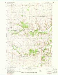
1965 Map of Concord
USGS Topo · Published 1988About this map
Concord and Roscoe serve as the primary hubs of this mid-1960s agricultural landscape where the Goodhue and Dodge County line cuts through fertile farmland. The drainage patterns of the Middle Fork Zumbro River and its North Branch define the local topography, with several small quarries and gravel pits indicating the extraction industry supporting local infrastructure. For genealogists, the map is a primary source for locating early community anchors such as the St Rose Church and its associated St Rose Cemetery, along with Fairpoint Cemetery and Riverside Cemetery. The small settlement of Berne and the Conservation Club near the river highlight the social and recreational gathering points of this rural Minnesota region.
Find a feature on this map
23 named features on this map. Tap any name to fly to it.
Don’t see what you’re looking for? This feature index may not catch every label — zoom into the map to look around manually.
Map Details
Editions of this 1965 Concord Map
2 editions found
Other maps of this area

1953 · Saint Paul
USGS Topo · 1:250,000

1959 · Saint Paul
USGS Topo · 1:250,000

1965 · Dodge Center
USGS Topo · 1:24,000

1965 · Concord
USGS Topo · 1:24,000

1965 · Claremont
USGS Topo · 1:24,000

1965 · West Concord
USGS Topo · 1:24,000

1965 · Byron
USGS Topo · 1:24,000

1965 · Pine Island
USGS Topo · 1:24,000

1968 · Zumbrota
USGS Topo · 1:24,000

1968 · Kenyon
USGS Topo · 1:24,000