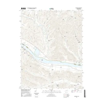
2016 Map of Concord
USGS Topo · Published 2016About this map
The Ohio River flows along the boundary of Kentucky and Ohio, anchoring a landscape where riverbank settlements like Concord and Carrs meet the rising terrain of Lewis Co and Adams Co. This 2016 survey documents the intricate network of hollows and ridges that define the region, from Blue Hollow and McKee Hollow to the high point at Big Brier Knob. The importance of small-scale family and community heritage is evident in the numerous burial grounds documented across the hills, including Nesbitt Cem, Hayslip Cem, and Fairmont Cem.
Find a feature on this map
90 named features on this map. Tap any name to fly to it.
Don’t see what you’re looking for? This feature index may not catch every label — zoom into the map to look around manually.
Map Details
Editions of this 2016 Concord Map
This is the sole edition of this map. No revisions or reprints were ever made.
Other maps of this area

1916 · Peebles
USGS Topo · 1:62,500

1918 · Peebles
USGS Topo · 1:62,500

1918 · Seaman
USGS Topo · 1:62,500

1919 · Vanceburg
USGS Topo · 1:62,500

1929 · Springdale
USGS Topo · 1:48,000

1935 · Springdale
USGS Topo · 1:62,500

1949 · Vanceburg
USGS Topo · 1:62,500

1949 · Buena Vista
USGS Topo · 1:24,000

1949 · Vanceburg
USGS Topo · 1:24,000

1949 · Concord
USGS Topo · 1:24,000