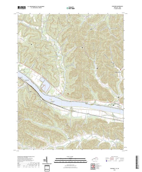
2022 Map of Concord
USGS Topo · Published 2022About this map
The Ohio River flows through this borderland, separating the steep terrain of Adams Co, Ohio, from Lewis Co, Kentucky. The river corridor is the primary artery for local life, flanked by the riverfront settlements of Concord and Rome (Stout). The landscape is defined by deep incisions like McKee Hollow and Truitt Hollow, where small roads and family-named landmarks follow the natural contours of the land.
Find a feature on this map
84 named features on this map. Tap any name to fly to it.
Don’t see what you’re looking for? This feature index may not catch every label — zoom into the map to look around manually.
Map Details
Editions of this 2022 Concord Map
This is the sole edition of this map. No revisions or reprints were ever made.
Other maps of this area

1916 · Peebles
USGS Topo · 1:62,500

1918 · Peebles
USGS Topo · 1:62,500

1918 · Seaman
USGS Topo · 1:62,500

1919 · Vanceburg
USGS Topo · 1:62,500

1929 · Springdale
USGS Topo · 1:48,000

1935 · Springdale
USGS Topo · 1:62,500

1949 · Vanceburg
USGS Topo · 1:62,500

1949 · Buena Vista
USGS Topo · 1:24,000

1949 · Vanceburg
USGS Topo · 1:24,000

1949 · Concord
USGS Topo · 1:24,000