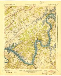
1940 Map of Concord
USGS Topo · Published 1940About this map
Fort Loudoun Reservoir and the Tennessee River dominate this 1940 study, capturing the landscape at a moment of significant transition as the Tennessee Valley Authority reshaped the region's waterways. The map illustrates a dense network of river-oriented settlements and family landmarks before the rising waters of Watts Bar Res and its upstream counterparts fully altered the riverbanks. Communities such as Concord and Friendsville are shown alongside smaller rural centers like Martel and Virtue.
Find a feature on this map
74 named features on this map. Tap any name to fly to it.
Don’t see what you’re looking for? This feature index may not catch every label — zoom into the map to look around manually.
Map Details
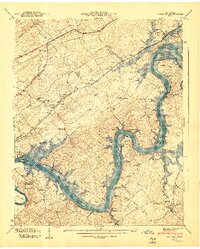
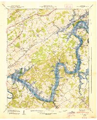
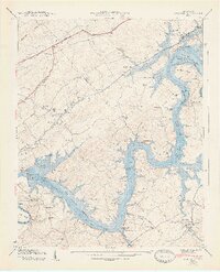
Editions of this 1940 Concord Map
4 editions found
Other maps of this area

1895 · Loudon
USGS Topo · 1:125,000

1935 · Binfield
USGS Topo · 1:24,000

1935 · Meadow
USGS Topo · 1:24,000

1935 · Lenoir City
USGS Topo · 1:24,000

1935 · Bethel Valley
USGS Topo · 1:24,000

1935 · Bearden
USGS Topo · 1:24,000

1935 · Lovell
USGS Topo · 1:24,000

1936 · Louisville
USGS Topo · 1:24,000

1936 · Friendship
USGS Topo · 1:48,000

1936 · Loudon
USGS Topo · 1:24,000