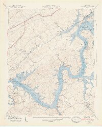
1940 Map of Concord
USGS Topo · Published 1947About this map
Concord and Friendsville sit at the center of this Tennessee Valley landscape, surveyed as the Fort Loudoun Reservoir was reshaping the flow of the Tennessee River. The map captures a transition in transportation, showing the intersection of the Southern Railway with historic thoroughfares like the Old Walton Road and the Lee Highway. Along the river's winding course, numerous islands and shoals like Calloway Island and Coulter Shoals are visible near the confluence with the Little Tennessee River. Local life is well-documented through scattered rural institutions, including Muddy Creek Sch, Bethel Chapel, and Prater Cem. A notable piece of local history is recorded at Leeper Ferry (Abandoned), marking where river crossings once linked the shores before modern infrastructure prevailed.
Find a feature on this map
68 named features on this map. Tap any name to fly to it.
Don’t see what you’re looking for? This feature index may not catch every label — zoom into the map to look around manually.
Map Details
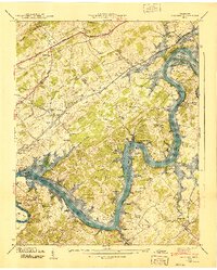
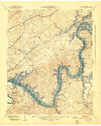
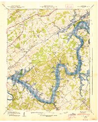
Editions of this 1940 Concord Map
4 editions found
Other maps of this area

1895 · Loudon
USGS Topo · 1:125,000

1935 · Binfield
USGS Topo · 1:24,000

1935 · Meadow
USGS Topo · 1:24,000

1935 · Lenoir City
USGS Topo · 1:24,000

1935 · Bethel Valley
USGS Topo · 1:24,000

1935 · Bearden
USGS Topo · 1:24,000

1935 · Lovell
USGS Topo · 1:24,000

1936 · Louisville
USGS Topo · 1:24,000

1936 · Friendship
USGS Topo · 1:48,000

1936 · Loudon
USGS Topo · 1:24,000