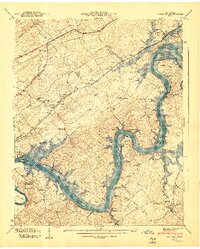
1940 Map of Concord
USGS Topo · Published 1940About this map
Fort Loudoun Reservoir dominates this 1940 landscape, capturing a transformative period in East Tennessee as the Tennessee River was harnessed. This survey shows the area just as the Tennessee Valley Authority was finalizing the geography that defines the modern lakefront, with numerous islands like McReynolds Island and Big Island still distinct. Settlement patterns reflect the agrarian and transit history of the region, from the Southern Ry passing through Concord to the winding course of the Lee Highway.
Find a feature on this map
72 named features on this map. Tap any name to fly to it.
Don’t see what you’re looking for? This feature index may not catch every label — zoom into the map to look around manually.
Map Details
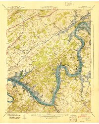
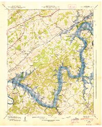
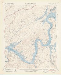
Editions of this 1940 Concord Map
4 editions found
Other maps of this area

1895 · Loudon
USGS Topo · 1:125,000

1935 · Binfield
USGS Topo · 1:24,000

1935 · Meadow
USGS Topo · 1:24,000

1935 · Lenoir City
USGS Topo · 1:24,000

1935 · Bethel Valley
USGS Topo · 1:24,000

1935 · Bearden
USGS Topo · 1:24,000

1935 · Lovell
USGS Topo · 1:24,000

1936 · Louisville
USGS Topo · 1:24,000

1936 · Friendship
USGS Topo · 1:48,000

1936 · Loudon
USGS Topo · 1:24,000