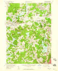
1958 Map of Concord
USGS Topo · Published 1959About this map
Concord and its literary and revolutionary heritage are central to this mid-century survey, which records the landscape before the significant suburban expansion of the later twentieth century. The map highlights the town's famous landmarks, including Authors Ridge and the Old North Bridge Minute Man Mon, alongside the early footprint of the Minute Man Nat Historic Site. To the east, the transition from a traditional New England village to a strategic military hub is evident in the sprawling Hanscom Air Force Field.
Find a feature on this map
107 named features on this map. Tap any name to fly to it.
Don’t see what you’re looking for? This feature index may not catch every label — zoom into the map to look around manually.
Map Details
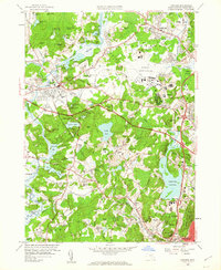
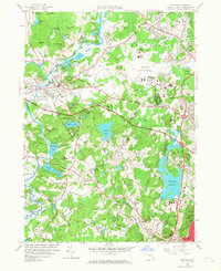
Editions of this 1958 Concord Map
3 editions found
Other maps of this area

1886 · Lawrence
USGS Topo · 1:62,500

1886 · Lowell
USGS Topo · 1:62,500

1886 · Framingham
USGS Topo · 1:62,500

1888 · Lawrence
USGS Topo · 1:62,500

1889 · Framingham
USGS Topo · 1:62,500

1893 · Lowell
USGS Topo · 1:62,500

1893 · Boston
USGS Topo · 1:62,500

1893 · Lawrence
USGS Topo · 1:62,500

1894 · Framingham
USGS Topo · 1:62,500

1903 · Boston
USGS Topo · 1:62,500