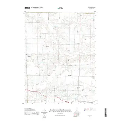
2021 Map of Concord
USGS Topo · Published 2021About this map
Indian Creek and its many tributaries, including Little Indian Cr and Caldwell Cr, carve a complex drainage pattern across this section of central Illinois. The landscape is marked by a high density of small family and community burial grounds, such as the Angel Cem, Crum Cem, and the Morgan County Poor Farm Cem. These features, alongside the Mount Zion Lutheran Cem, provide significant genealogical landmarks for the region.
Find a feature on this map
81 named features on this map. Tap any name to fly to it.
Don’t see what you’re looking for? This feature index may not catch every label — zoom into the map to look around manually.
Map Details
Editions of this 2021 Concord Map
This is the sole edition of this map. No revisions or reprints were ever made.
Other maps of this area

1924 · Winchester
USGS Topo · 1:48,000

1926 · Winchester
USGS Topo · 1:62,500

1929 · Arenzville
USGS Topo · 1:62,500

1932 · Arenzville
USGS Topo · 1:62,500

1932 · Jacksonville
USGS Topo · 1:62,500

1932 · Virginia
USGS Topo · 1:62,500

1936 · Virginia
USGS Topo · 1:62,500

1937 · Jacksonville
USGS Topo · 1:62,500

1948 · Quincy
USGS Topo · 1:250,000

1956 · Quincy
USGS Topo · 1:250,000