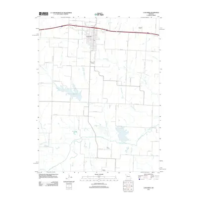
2011 Map of Concordia
USGS Topo · Published 2011About this map
Concordia serves as the central hub of this agricultural landscape in Lafayette County, situated north of the meandering Blackwater River. The town is framed by several religious and local burial sites, including the Saint Johns Cemetery and Evangelical Cemetery, which provide significant points of interest for genealogical research. To the south, the Edwin A Pape Lake stands as a prominent local landmark, while the surrounding terrain is defined by a dense network of watercourses such as Panther Creek, Pequine Creek, and Walnut Creek.
Find a feature on this map
67 named features on this map. Tap any name to fly to it.
Don’t see what you’re looking for? This feature index may not catch every label — zoom into the map to look around manually.
Map Details
Editions of this 2011 Concordia Map
This is the sole edition of this map. No revisions or reprints were ever made.
Other maps of this area

1885 · Warrensburg
USGS Topo · 1:125,000

1887 · Sedalia
USGS Topo · 1:125,000

1887 · Warrensburg
USGS Topo · 1:125,000

1889 · Lexington
USGS Topo · 1:125,000

1890 · Marshall
USGS Topo · 1:125,000

1892 · Marshall
USGS Topo · 1:125,000

1894 · Sedalia
USGS Topo · 1:125,000

1894 · Warrensburg
USGS Topo · 1:125,000

1901 · Marshall
USGS Topo · 1:125,000

1917 · Knobnoster
USGS Topo · 1:62,500