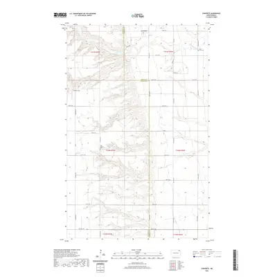
2020 Map of Concrete
USGS Topo · Published 2020About this map
The Tongue River winds through the northern reaches of this territory, defining a landscape marked by the transition between the rolling uplands of the Cavalier and Pembina county line. The small settlement of Concrete sits near the northern boundary, while the Goodman Strip provides a distinctive landmark to the west. This 2020 survey illustrates the enduring rural structure of the region, where a precise grid of section roads like 84th St NE and 92nd St NE serves scattered farmsteads and agricultural tracts.
Find a feature on this map
26 named features on this map. Tap any name to fly to it.
Don’t see what you’re looking for? This feature index may not catch every label — zoom into the map to look around manually.
Map Details
Editions of this 2020 Concrete Map
This is the sole edition of this map. No revisions or reprints were ever made.
Other maps of this area

1918 · Walhalla
USGS Topo · 1:62,500

1943 · Walhalla
USGS Topo · 1:62,500

1952 · Thief River Falls
USGS Topo · 1:250,000

1953 · Devils Lake
USGS Topo · 1:250,000

1956 · Thief River Falls
USGS Topo · 1:250,000

1956 · Devils Lake
USGS Topo · 1:250,000

1957 · Thief River Falls
USGS Topo · 1:250,000

1963 · Gardar
USGS Topo · 1:24,000

1964 · Mountain
USGS Topo · 1:24,000

1964 · Hallson
USGS Topo · 1:24,000