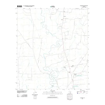
2010 Map of Concrete
USGS Topo · Published 2010About this map
The Guadalupe River meanders across this DeWitt County landscape, defining the rural character of the settlements at Concrete and Buchel. This 2010 survey illustrates a region shaped by agricultural life and water management, featuring several localized reservoirs and the Cuero Dam. The area is particularly significant for genealogical research, as it contains numerous burial grounds including Leissner Cemetery, Nelms Cemetery, San Pedro Cemetery, and Lockhart Cemetery. These sites are often found along quiet rural corridors like Bellevue Cemetery RD. Modern infrastructure for water control is evident through the Soil Conservation Service Site 1 Reservoir and its companion site to the south. The convergence of Sandies Creek and the Guadalupe River system highlights the environmental factors that influenced the placement of early DeWitt County homesteads and roads.
Find a feature on this map
41 named features on this map. Tap any name to fly to it.
Don’t see what you’re looking for? This feature index may not catch every label — zoom into the map to look around manually.
Map Details
Editions of this 2010 Concrete Map
This is the sole edition of this map. No revisions or reprints were ever made.
Other maps of this area

1953 · Seguin
USGS Topo · 1:250,000

1958 · Seguin
USGS Topo · 1:250,000

1959 · Hochheim
USGS Topo · 1:24,000

1960 · Cuero
USGS Topo · 1:24,000

1960 · Concrete
USGS Topo · 1:24,000

1960 · Blackwell Lake
USGS Topo · 1:24,000

1960 · Cheapside
USGS Topo · 1:24,000

1960 · Westhoff
USGS Topo · 1:24,000

1962 · Verhelle
USGS Topo · 1:24,000

1962 · Edgar
USGS Topo · 1:24,000