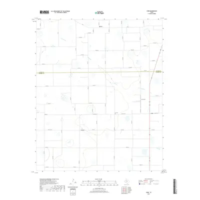
2019 Map of Cone
USGS Topo · Published 2019About this map
The boundary between Floyd Co and Crosby Co bisects this High Plains landscape, a region defined by agricultural grids and isolated rural outposts. At the heart of the area is Cone, situated at the intersection of local routes near the Cone Airport and Cone Cem. The terrain is subtly marked by the winding course of Crawfish Cr, which provides the primary topographic relief in an otherwise strictly partitioned landscape of section roads and farm plots. In the northern reaches, the settlement of McCoy sits along the county line, while the community of Farmer occupies the southwestern quadrant. The concentration of features around Cone suggests it served as a local hub for the surrounding ranching and farming operations that dominate this portion of the Texas Panhandle.
Find a feature on this map
50 named features on this map. Tap any name to fly to it.
Don’t see what you’re looking for? This feature index may not catch every label — zoom into the map to look around manually.
Map Details
Editions of this 2019 Cone Map
This is the sole edition of this map. No revisions or reprints were ever made.
Other maps of this area

1954 · Lubbock
USGS Topo · 1:250,000

1965 · Petersburg
USGS Topo · 1:24,000

1965 · Lorenzo
USGS Topo · 1:24,000

1965 · Cone
USGS Topo · 1:24,000

1965 · Floydada
USGS Topo · 1:24,000

1965 · Floydada SE
USGS Topo · 1:24,000

1965 · Sandhill
USGS Topo · 1:24,000

1967 · Ralls NE
USGS Topo · 1:24,000

1967 · Ralls
USGS Topo · 1:24,000

1968 · Barwise
USGS Topo · 1:24,000