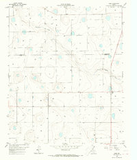
1965 Map of Cone
USGS Topo · Published 1968About this map
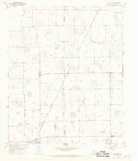
Agricultural development and rural settlements define this landscape along the Floyd Co Crosby Co line during the mid-1960s. The community of Cone serves as a local hub, featuring essential civic landmarks like the Cone Elem Sch and the nearby Cone Cem. The terrain is characterized by numerous depressions and upland basins typical of the Llano Estacado, with drainage provided by the winding course of Crawfish Creek.
Find a feature on this map
42 named features on this map. Tap any name to fly to it.
Don’t see what you’re looking for? This feature index may not catch every label — zoom into the map to look around manually.
Map Details
Editions of this 1965 Cone Map
This is the sole edition of this map. No revisions or reprints were ever made.
Other maps of this area

1954 · Lubbock
USGS Topo · 1:250,000
1965 · Petersburg
USGS Topo · 1:24,000
1965 · Lorenzo
USGS Topo · 1:24,000
1965 · Floydada
USGS Topo · 1:24,000
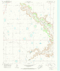
1965 · Floydada SE
USGS Topo · 1:24,000
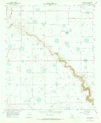
1965 · Sandhill
USGS Topo · 1:24,000
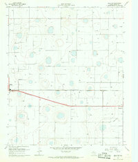
1967 · Ralls NE
USGS Topo · 1:24,000
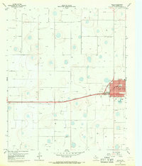
1967 · Ralls
USGS Topo · 1:24,000
1968 · Barwise
USGS Topo · 1:24,000
1986 · Lubbock
USGS Topo · 1:100,000